What is recorded here
At the base of a gentle NE-facing slope at the edge of the flood-plain of the Inny River. A poorly defined, low, grass-covered mound may mark the remains of a fulacht fia. Another fulacht fia (LF027-042001-) lies c. 6m to the NE.
Compiled by: Patrick F. O'Donovan
Date of upload: 26 August 2011
The monument record does not grant public access. Check the route and ask the landowner before entering private land.
- What survives
- Recorded monument
Places near here
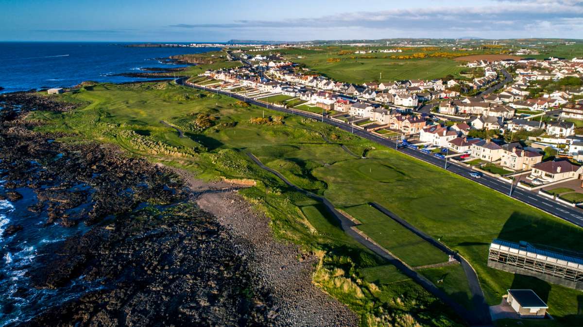 Fulacht fia in Rathmore (shrule By.)Fulacht fia · 7 yd
 Cultivation ridges in CastlecoreCultivation ridges · 446 yd
 European BeechEuropean Beech · 907 yd
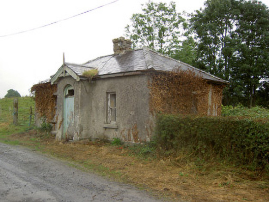 Cartron Housegate lodge · 1053 yd
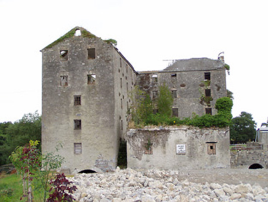 Shrule Millsmill (water) · 1098 yd
 CastleCastle, motte · 1505 yd
 Ballymulvey Ho.Castle, unclassified · 1.6 mi
 Noughaval CemeteryArchaeological place · 2.0 mi
 Corlea Bog Walk Canal BranchWalking route · 4.7 mi
 Leveret IslandIslet · 4.7 mi
 Corlea Trackway Interpretative CentreHeritage attraction · 4.9 mi
 Corlea Bog Walk Blue LoopWalking route · 5.2 mi