
What is recorded here
Rathhugh is a fairy fort or earthen ringfort in Rathhugh, County Sligo, Ireland. It occupies the level summit of a broad east-west ridge in pasture. A circular area twenty-four metres across sits inside an earth and stone bank 8.55 metres wide. Drystone field walls attach to the outer bank and crest along several directions.
Situated on level summit broad of broad E-W orientated ridge in pasture. Raised circular area (diam. 24m) enclosed by a bank of earth and stone (Wth 8.55m; int. H 0.3m). No fosse visible. A drystone field wall lies along the outer face of the bank S-WNW and on the crest of the bank WNW-NE. A N-S orientated field wall skirts the external base of the bank NE-ESE and a WNW-ESE orientated field wall links to the bank at WNW. Original entrance not recognisable.
Compiled by: Patrick F. O'Donovan
Date of upload: 21 April 2011
The monument record does not grant public access. Check the route and ask the landowner before entering private land.
- What survives
- Recorded monument
Places near here
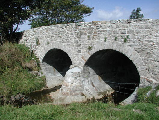 bridgebridge · 596 yd
 IndicatedFairy fort / stone ringfort · 794 yd
 CashelbreenFairy fort / stone ringfort · 1086 yd
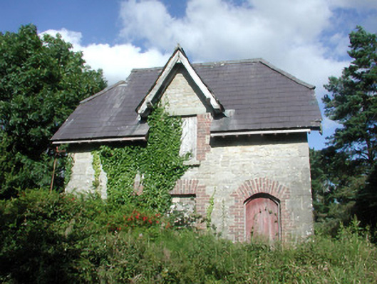 Benbulbin Old Schoolschool master's house · 1324 yd
 CastleCastle, unclassified · 1.4 mi
 InishnagorIslet · 1.7 mi
 Connors IslandIsland · 1.8 mi
 Atlantic SheepdogsHeritage attraction · 2.3 mi
 BenbulbenMountain · 2.4 mi
 BenbulbinMountain / peak · 2.4 mi
 BenwiskinMountain / peak · 2.6 mi
 Trawalua StrandBeach / strand · 2.9 mi
Other information
Photo: Credit not shown in the picture search · Rights wording not checked; contact us if this picture should be removed