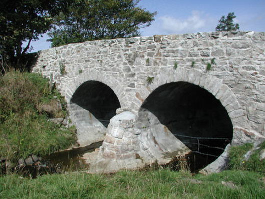
What is recorded here
Double-span limestone road-over-river bridge, built c. 1830. Uncoursed rubble walling rising uninterrupted to uncapped low parapets. Semi-circular arches, roughly-dressed voussoirs, semi-circular battered cutwaters to both sides. Single carriageway deck, gravelled verges. Spans south-east to north-west over narrow stream. Located in flat scenic landscape.
This bridge retains its original form and materials in spite of clumsy recent renovation. Semi-circular cutwaters add to the bridge's interest.
This does not grant access. Most recorded buildings are privately owned; view them only from public ground unless the owner allows entry.
Places near here
 RathhughFairy fort / earthen ringfort · 596 yd
 Enclosure in MoneygoldEnclosure · 752 yd
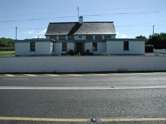 Carn National Schoolschool · 952 yd
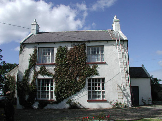 Ahamlish Gleberectory/glebe/vicarage/curate's house · 1217 yd
 CastleCastle, unclassified · 1.6 mi
 Connors IslandIsland · 1.6 mi
 InishnagorIslet · 1.7 mi
 Atlantic SheepdogsHeritage attraction · 2.4 mi
 Trawalua StrandBeach / strand · 2.6 mi
 BenwiskinMountain / peak · 2.7 mi
 BenbulbenMountain · 2.7 mi
 BenbulbinMountain / peak · 2.7 mi
Other information
Photo: National Inventory of Architectural Heritage · Website use allowed for educational or private purposes with source credit