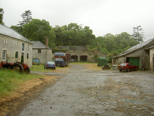
What is recorded here
Rendered and stone stableyard, built c. 1820. Irregular plan, single- and two-storey outbuildings gathered around central yard, screen wall to east. Pitched, hipped and lean-to slate roofs, clay ridge tiles, red brick corbelled chimneystacks to south range, cast-iron rainwater goods. Random rubble stone and roughcast-rendered walling. Square-headed window openings, some with red brick block-and-start surround, limestone sills, painted timber six-over-three, three-over-three, and three-over-six sliding sash windows, arrow loop windows to first floor west hayloft, lunettes to first floor east hayloft. Square-headed door openings, painted timber vertically-sheeted doors, some overlights, segmental-headed carriage arch opening to east, brick voussoirs, painted timber vertically-sheeted double doors. Single-storey lean-to house to north attached to former carriage house with three segmental-carriage arches to ground floor and single-bay lean-to structure with ashlar stone bellcote. Segmental-headed arch to north-west leads to rear of house; segmental-headed arch to north-east leads to fields; stableyard bounded by rubble stone walling and piers at south.
The stable yard at Rathescar represents a fascinating survival of demesne architecture and the importance of the yard still continues today as it is a functioning stable. The yard developed organically over the years and displays a fascinating insight into the social structure of a country house and the crucial role the horse played at that time. The associated building of Rathescar House forms a significant group which plays an important role in Louth's architectural heritage.
This does not grant access. Most recorded buildings are privately owned; view them only from public ground unless the owner allows entry.
Places near here
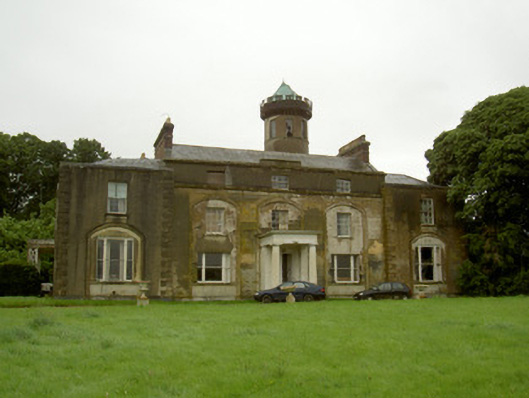 Rathescarcountry house · 74 yd
 Ritual siteRitual site, holy/saint's stone · 799 yd
 Rathescar Lakeside WalkWood · 831 yd
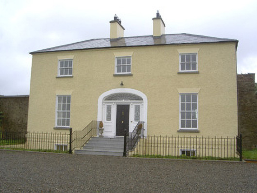 Rathcoole Househouse · 1025 yd
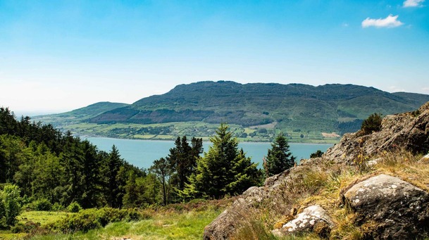 Man-made underground passage in ClivenMan-made underground passage · 1131 yd
 Not idicatatedCastle, unclassified · 1.3 mi
 CastleCastle, unclassified · 1.7 mi
 Monterey CypressMonterey Cypress · 2.3 mi
 Graveyard in Richardstown (ardee By., Richardstown Par.)Graveyard · 2.3 mi
 Black HillMountain / peak · 2.8 mi
 Graveyard in StickillinGraveyard · 3.1 mi
 BarabonaMountain / peak · 3.2 mi
Other information
Photo: National Inventory of Architectural Heritage · Website use allowed for educational or private purposes with source credit