What is recorded here
Grave Yard is a small walled enclosure on the southern edge of a narrow Kildare valley, holding a ruined church and cross slabs that date from before the legible eighteenth and nineteenth century markers at its east. It sits beside Toberkevin and a laneway that may have joined the old Naas to Glendalough route, suggesting this was once a sacred corridor rather than an ordinary burial spot. The layering is what makes it strange: Christian stone, later graves and a holy well name all point to St Kevin’s shadow, even though the founding date and dedication have gone quiet.
Occupying most of the E sector of a possible ecclesiastical enclosure (KD018-006003-) and containing a church (KD018-006001-) in its S sector. The few legible burial markers stand to the E of the church and date to the 18th and 19th c.
Compiled by: Gearóid Conroy
Date of upload: 10 June 2011
A medieval graveyard associated with an ecclesiastical site; significance lies in its potential link to early Christian settlement and burial practices in the region.
The monument record does not grant public access. Check the route and ask the landowner before entering private land.
- What survives
- Recorded monument
Places near here
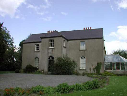 Rathernan Houserectory/glebe/vicarage/curate's house · 192 yd
 farm housefarm house · 486 yd
 Kilmeague CastleRuins · 585 yd
 Enclosure in BallintineEnclosure · 1707 yd
 Enclosure in NewparkEnclosure · 1.3 mi
 Bawn in Grangeclare WestBawn · 1.3 mi
 Hill of AllenMountain / peak · 1.7 mi
 Grand Canal WayVisitor information · 1.8 mi
 Museum of MotorsportMuseum · 3.7 mi
 Pollardstown Fen Nature ReserveNature reserve · 4.0 mi
 Ballynafagh Bog Special Area of ConservationNature reserve · 4.0 mi
 Bithia Mary CrokerMemorial · 7.0 mi