What is recorded here
Half a circle of earth and stone still holds the graveyard and church at Rathernan, though the western edge has surrendered to wet grass and forgetting. The bank rises two and a half metres on the outside, broad enough to walk beside, while a roadside wall completes the curve below. People may have drawn this place around the dead because the ground itself seemed to lean inward, or perhaps they simply followed the shape already suggested by the slope. Either way, the enclosure continues to receive what the land refuses to release.
Near the foot of a short, gentle W-facing pasture slope overlooking poor, wet, rough grazing to the W. Comprises the SE-half (NE-S-SW) of a large, poorly preserved, probably originally circular area (diam c. 90m), defined by a broad, curving, earthen bank (Wth 3-4m; int. H 1.5m; ext. H 2.5m) NE-E-SE, which is hedged as a townland boundary NE-E, and by a curving roadside wall SE-S-SW. A graveyard (KD018-006002-) occupies most of the E half of the interior and contains a church (KD018-006001-) in its S sector.
Compiled by: Gearóid Conroy
Date of upload: 10 June 2011
The monument record does not grant public access. Check the route and ask the landowner before entering private land.
- What survives
- Recorded monument
Places near here
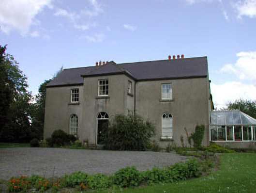 Rathernan Houserectory/glebe/vicarage/curate's house · 192 yd
 farm housefarm house · 487 yd
 Kilmeague CastleRuins · 587 yd
 Enclosure in BallintineEnclosure · 1709 yd
 Enclosure in NewparkEnclosure · 1.3 mi
 Bawn in Grangeclare WestBawn · 1.3 mi
 Hill of AllenMountain / peak · 1.7 mi
 Grand Canal WayVisitor information · 1.8 mi
 Museum of MotorsportMuseum · 3.7 mi
 Pollardstown Fen Nature ReserveNature reserve · 4.0 mi
 Ballynafagh Bog Special Area of ConservationNature reserve · 4.0 mi
 Bithia Mary CrokerMemorial · 7.0 mi