What is recorded here
Daingean South Bog holds five parallel ash poles and two brushwood pegs, buried beneath Spaghnum peat since roughly AD 433-648. Flat toolmarks and wedge-point ends suggest deliberate placement rather than accidental loss. Theindustrial peatland has swallowed the makers, leaving only angled wood and a date range behind.
This site is located in the industrial peatlands of Daingean South Bog. It was recorded in the 2013 Reassessment Peatland Survey as parallel brushwood and roundwood elements exposed on the field surface (Whitaker 2014).
On excavation in 2014 (licence 14E0303) it was interpreted as a peatland structure. The site was dated to cal. AD 433-648 (UBA 26594).
The excavated site consisted of five parallel roundwood elements orientated E-W, and two brushwood pegs. The elements ranged from 0.06-0.11m in diameter and 0.08-3.13m in length. Flat faceted toolmarks were noted on two elements, both with wedge-point ends. The elements were identified as ash roundwood and brushwood, with a single pomoideae roundwood also noted. The site was overlain by poorly humified Spaghnum peat and the underlying peat was moderately humified (Whitaker 2017).
Compiled by: Jane Whitaker/Femke Vleeshouwer
Date of upload: 25 February 2020
The monument record does not grant public access. Check the route and ask the landowner before entering private land.
- What survives
- Recorded monument
Places near here
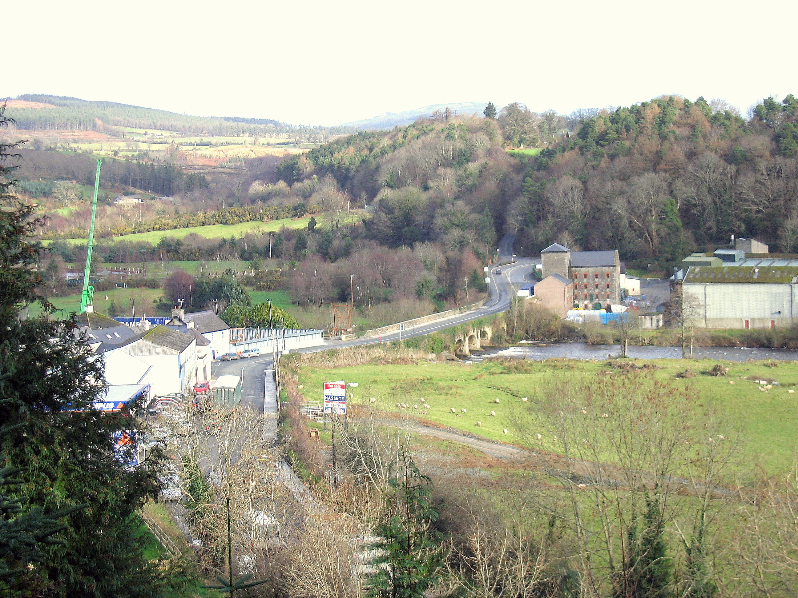 Enclosure in RathdrumEnclosure · 164 yd
 RoadRoad, class 1 togher · 233 yd
 Not indciatedStructure, peatland · 360 yd
 CastleCastle, unclassified · 1574 yd
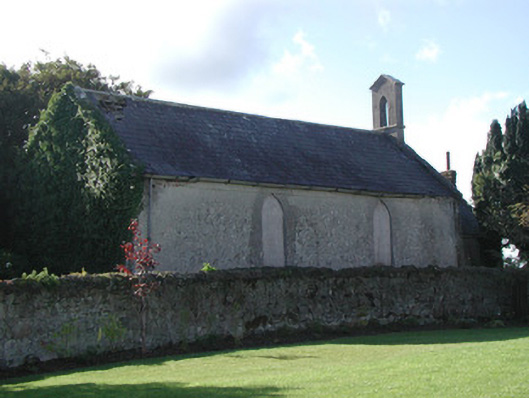 Saint Francis's Church (Ballycommon)church/chapel · 1.0 mi
 Graveyard in BallycommonGraveyard · 1.0 mi
 Saint Clavin's WellSpring · 1.4 mi
 Kill Castle (ruins)Castle, tower house · 1.6 mi
 Cruil HillMountain / peak · 2.0 mi
 Lackan HillMountain / peak · 2.0 mi
 Children's WellSpring · 2.6 mi
 Bracklin WoodWood · 3.6 mi