What is recorded here
A degraded, partially displaced radially split plank (L 6.89m; Wth 0.94m; D 0.03m), split in two. There is an in situ post in the opposing drain face 3.7m to the N, extending the overall length of the site. The site is in poorly humified Sphagnum peat containing some Eriophorum. Recorded by the Irish Archaeological Wetland Unit (University College, Dublin) in 2001. The evidence is not sufficient to warrant its acceptance as the remains of an archaeological monument.
The original survey description was compiled by the Irish Archaeological Wetland Unit (University College, Dublin). Assessed and revised by: Caimin O'Brien, Paul Walsh
Date of upload: 23 May 2011
The monument record does not grant public access. Check the route and ask the landowner before entering private land.
- What survives
- Recorded monument
Places near here
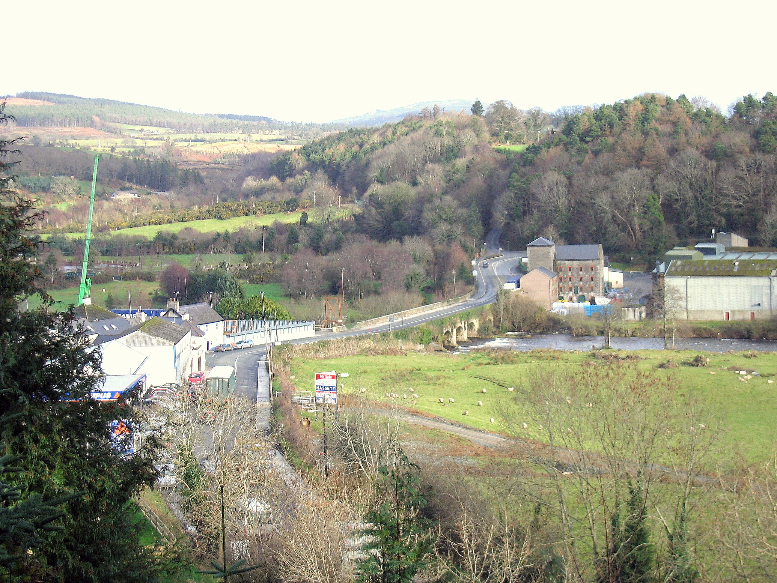 Enclosure in RathdrumEnclosure · 304 yd
 Not indciatedStructure, peatland · 391 yd
 RoadRoad, class 1 togher · 520 yd
 CastleCastle, unclassified · 1614 yd
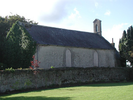 Saint Francis's Church (Ballycommon)church/chapel · 1.1 mi
 Graveyard in BallycommonGraveyard · 1.1 mi
 Saint Clavin's WellSpring · 1.3 mi
 Kill Castle (ruins)Castle, tower house · 1.5 mi
 Cruil HillMountain / peak · 1.9 mi
 Lackan HillMountain / peak · 2.0 mi
 Children's WellSpring · 2.7 mi
 Bracklin WoodWood · 3.6 mi