
What is recorded here
Situated on SW facing slope of a small hill in good pasture land with good views to NW but restricted elsewhere. Lady Well (WM003-098---) 420m to NNE, ringfort (WM003-063----) 545m to E, and second ringfort (WM003-060----) 260m to SSE. A sub-circular area (38m N-S; 39.5m E-W) is delimited by the remains of a substantial earth and stone bank with traces of a wide fosse outside it. The fosse has been partially disturbed by quarrying. The bank is denuded from SE-S-W and the fosse is visible only from NW-N-E-SSE. A modern field bank and hedge runs NW-SE just outside the perimeter from NW-N, and has defaced the outer face of the fosse there. No indication of the original entrance. The interior slopes from N-S and traces of cultivation ridges can be seen running E-W run across the interior of the monument.
Compiled by: Frank Coyne & Caimin O'Brien
Date of upload: 28 November 2016
The monument record does not grant public access. Check the route and ask the landowner before entering private land.
- What survives
- Recorded monument
Places near here
 Lady WellHoly well · 488 yd
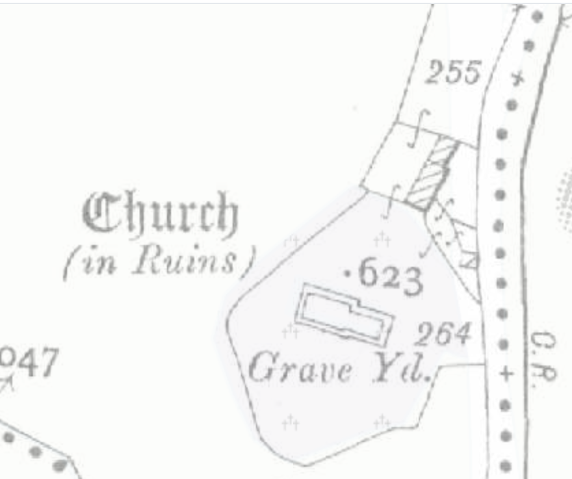 Church (in Ruins)Church · 899 yd
 Lickbla Housecountry house · 987 yd
 CastleCastle, tower house · 1605 yd
 European ashEuropean ash · 1.1 mi
 Hachured, dotted outlineCastle, motte and bailey · 1.4 mi
 Pedunculate OakPedunculate Oak · 1.5 mi
 Rock of CurryCliff · 1.7 mi
 Mullaghmeen ForestPicnic place · 3.5 mi
 Mullaghmeen Red WalkWalking route · 3.6 mi
 Mullaghmeen White WalkWalking route · 3.7 mi
Other information
Photo: Credit not shown in the picture search · Rights wording not checked; contact us if this picture should be removed