What is recorded here
Enclosure in Rathcoun is an enclosure in Rathcoun, County Tipperary, Ireland. It occupies an irregular area 30 metres north-south and 14 metres east-west on a low hillock in pasture, with a prominent 8-metre-wide, 3.45-metre-high scarp along its southwest and west sides. A broad 11.2-metre-wide fosse runs southwest through west and widens toward the northwest, while a levelled outer berm and its low scarp mark the northwest edge. Quarrying has disturbed the enclosing features across the north and northwest, and a monastery sits within the enclosure's northwest quadrant.
In lush pasture, on low hillock and immediately enclosed by mature trees, but otherwise good 360° views from this vantage point. Remains of irregular-shaped area (dims. 30m N-S; 14m E-W) defined by scarp (Wth 8m; H 3.45m) SW-W and at NNE where edge of monastery (TS060-107003-) is perched. Enclosing elements badly disturbed by quarrying N-SW and across NW-sector. Fosse (overall Wth 11.2m; basal Wth 2.2m; D 0.18m) SW-W and widens out W-NW. It is disturbed by quarrying NW-E, is not seen E-SE and is backfilled and level SE-SW. Wide, flat berm (Wth at top 4.7m; total Wth 6.45m) evident SW-NW, levelled NW-SE and levelled out into fosse SE-SW. Scarp (Wth 2.4m; H 0.8m) defines outer edge of berm SE-NW. Remains of levelled outer berm (Wth 5.7m) defined by low scarp (Wth 2.5m; H 0.5m) W-NW. Monastery (TS060-107003-) is within NW-quadrant, holy well (TS060-107004-) is to N of same, castle (TS060-107001-) adjoins to ESE, enclosure (TS060-107006-) adjoins to SW and church (TS060-107002-) is c. 60m to SE.
Compiled by: Jean Farrelly
Date of upload: 26 August 2011
The monument record does not grant public access. Check the route and ask the landowner before entering private land.
- What survives
- Recorded monument
Places near here
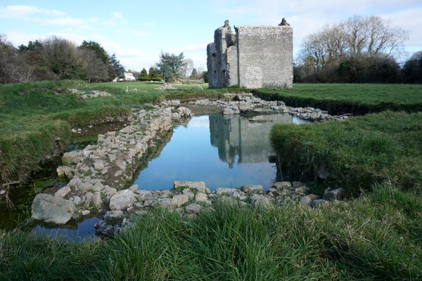 Site of MonasteryReligious house, unclassified · 14 yd
 Site of CastleCastle, unclassified · 32 yd
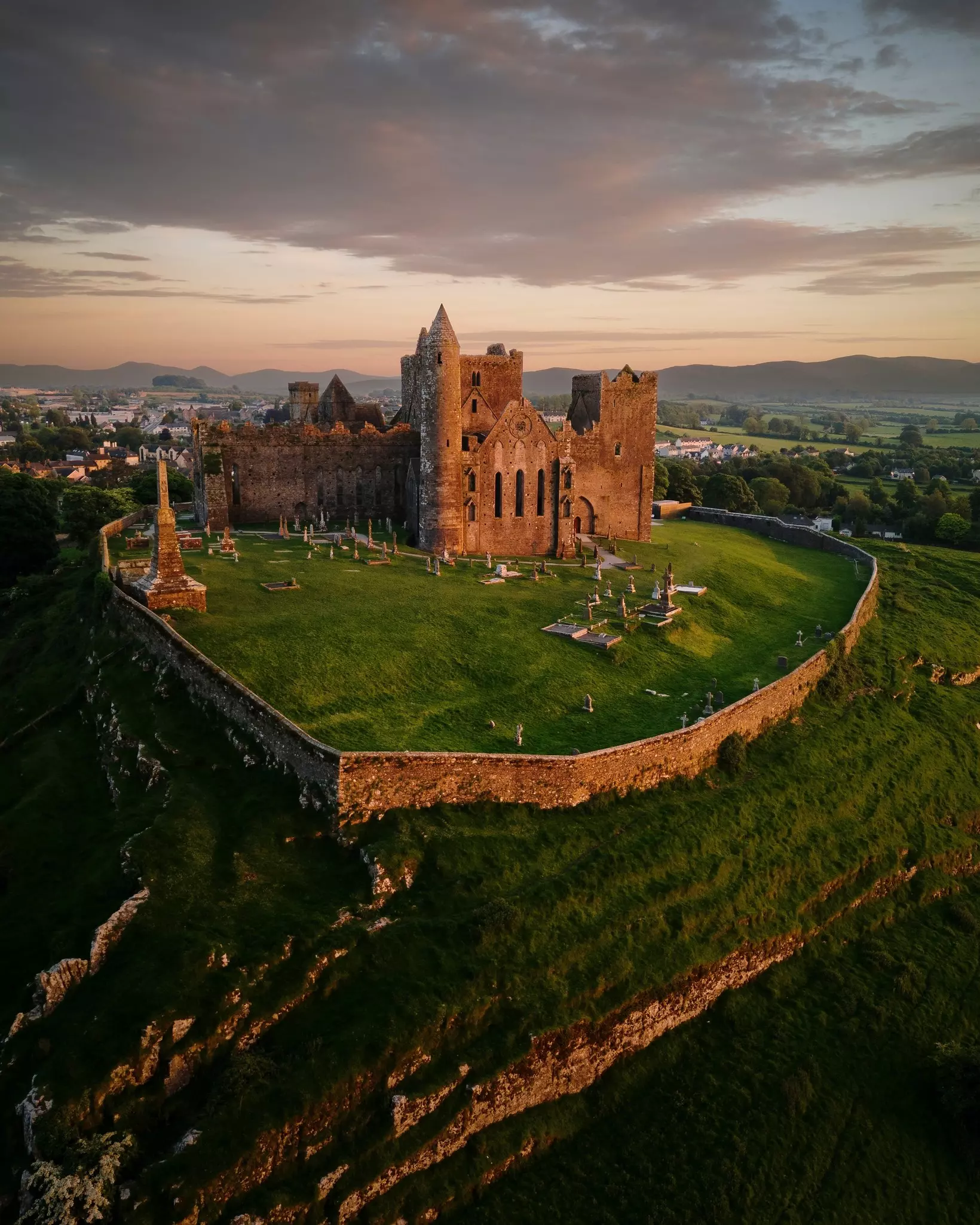 Site of TemplemoveeChurch · 91 yd
 Shanballyduff CastleCastle · 1429 yd
 Shanballyduff Househouse · 1451 yd
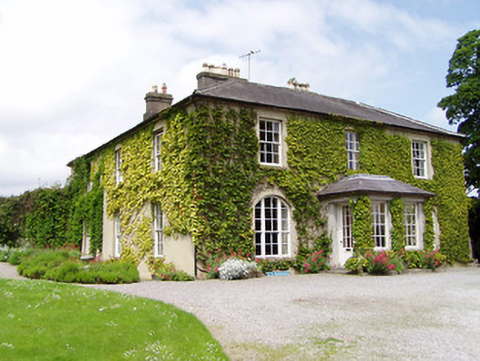 Ballinamona Househouse · 1530 yd
 Hore AbbeyHeritage attraction · 1.7 mi
 Black mulberryBlack mulberry · 1.9 mi
 Cashel Folk MusuemMuseum · 1.9 mi
 The Rock Of CashelVisitor information · 2.0 mi
 Dundrum Woods (Marl Bog)Forest · 7.0 mi
 Enclosure in KnockbullogeEnclosure · 1058 yd