What is recorded here
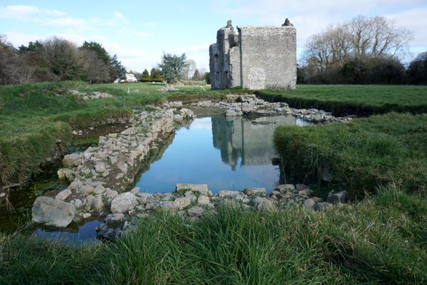
Within the NW quadrant of enclosure (TS060-107005-). Rectangular area (dims. 14.6m NNE-SSW; 6.4m ESE-WNW) defined by remains of stone wall (T 1.1m; min. int. H 0.15m; min. ext. H 0.1m) on NNE, ESE and SSW sides. Wall (max. int. H 1.1m; max. ext. H 0.45m) is cut into upslope (D 0.65m) on WNW side and is best preserved at SSW end where 1-2 courses of wall extend (H 0.45m) above exterior ground level. Stones of wall are moss covered and occasionally sod covered. Interior has been levelled off due to cutting into hillslope, but is uneven due to sod-covered stone from collapsed walls. Most of mortar has perished from joints between stones. The OS Letters (Flanagan 1930, vol. 1, 119 (314)) state that this is a 'supposed friary of which foundations remain'. Named 'Holy Well' on 1840-41 and latest edition OS 6-inch maps. According to Gwynn and Hadcock (1988, 368) the 'site of a monastery [is located] two miles south-west of Cashel'…. and is named 'Cluain-conbruin…founded by St. Abban'. However, Ó Cearbhaill (2010, 95-6) places the church of Cluain Conbhruin at Derrycloney (TS0068-098----).
Compiled by: Jean Farrelly
Date of upload: 14 July 2014
The monument record does not grant public access. Check the route and ask the landowner before entering private land.
- What survives
- Recorded monument
Places near here
 Site of CastleCastle, unclassified · 40 yd
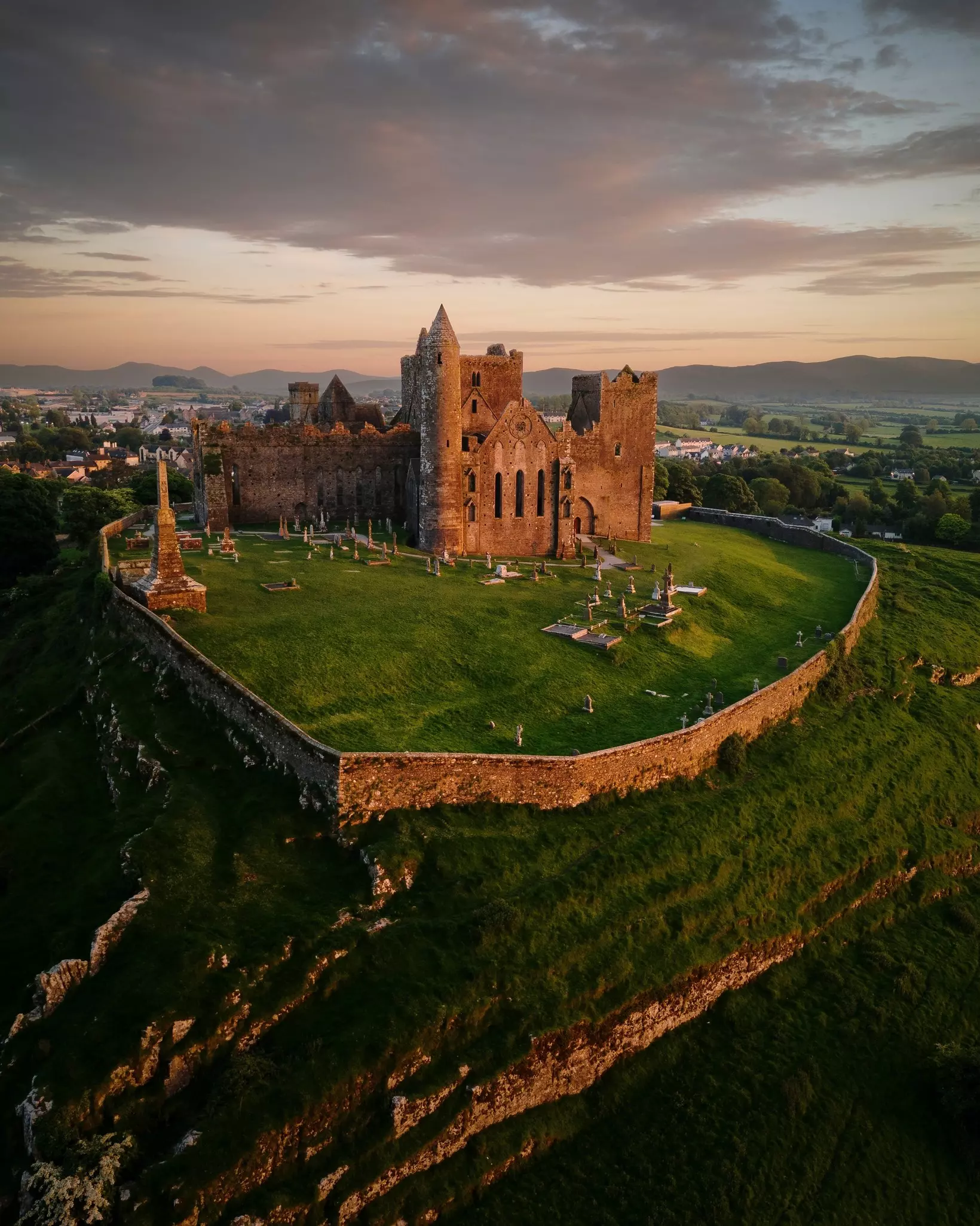 Site of TemplemoveeChurch · 101 yd
 Enclosure in KnockbullogeEnclosure · 1060 yd
 Shanballyduff CastleCastle · 1443 yd
 Shanballyduff Househouse · 1465 yd
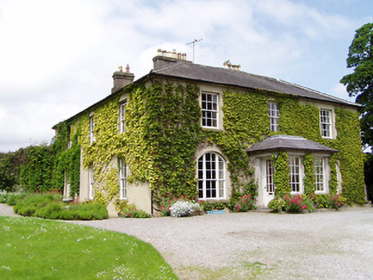 Ballinamona Househouse · 1516 yd
 Hore AbbeyHeritage attraction · 1.7 mi
 Black mulberryBlack mulberry · 1.9 mi
 Cashel Folk MusuemMuseum · 1.9 mi
 The Rock Of CashelVisitor information · 2.0 mi
 Dundrum Woods (Marl Bog)Forest · 6.9 mi
 Enclosure in FarranamanaghEnclosure · 1105 yd
Other information
Photo: Credit not shown in the picture search · Rights wording not checked; contact us if this picture should be removed