What is recorded here
Fairy fort in Rathcor, County Longford: a low earth-and-stone bank, shallow outer ditch, and raised central area on a pasture knoll. The shape is small enough to walk around quickly, yet old enough to belong before maps, before borders, before the usual human clamour. Maybe people lived there, maybe they avoided it, maybe they fed it with stories instead of firewood.
On a low knoll in otherwise level pasture. A raised subcircular area (48m E-W; 42m N-S) enclosed from SW-WSW by a low bank of earth and stone (Wth 5m; H 0.3m) and elsewhere defined by a scarp (H 0.8-1.15m). A shallow external fosse (Wth 7.1m; D 0.3m) survives from NW-N-E. A report in 1975 (SMR file) recorded that the original entrance may have been at E.
Compiled by: Patrick F. O'Donovan
Date of upload: 17 January 2012
The monument record does not grant public access. Check the route and ask the landowner before entering private land.
- What survives
- Recorded monument
Places near here
 Lismacaffry FortFairy fort / earthen ringfort · 732 yd
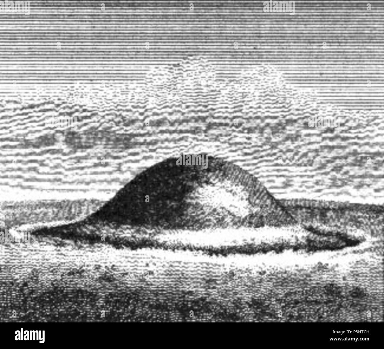 BarrowBarrow, ring-barrow · 732 yd
 Water millWater mill, unclassified · 1034 yd
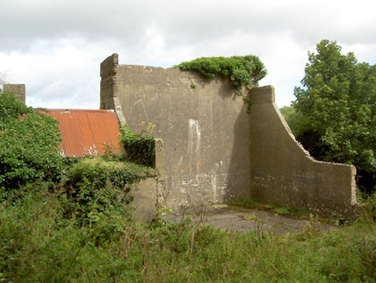 handball alleyhandball alley · 1758 yd
 BawnBawn · 1759 yd
 Cloonfin WoodForest · 1.9 mi
 CastleCastle, unclassified · 2.1 mi
 Granard MotteMotte-and-bailey castle remains · 2.1 mi
 1798 Monumentmonument · 2.1 mi
 Clonfin Ambush MemorialMemorial · 2.1 mi
 InchmoreIslet · 2.9 mi
 Derrycassan WoodsWood · 3.0 mi