What is recorded here
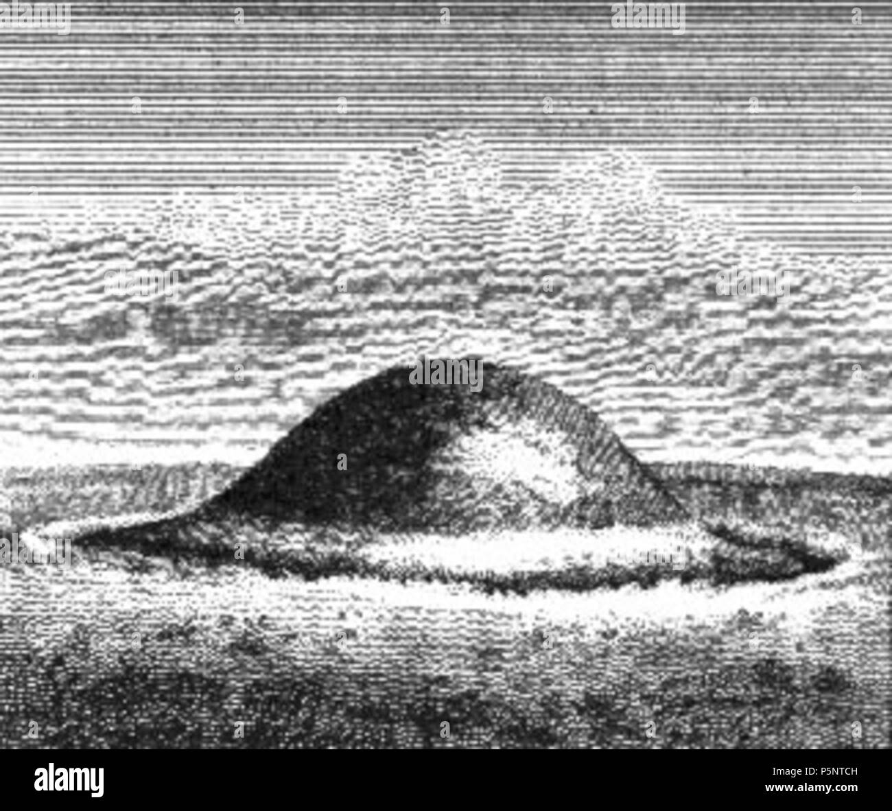
On a rise in well-drained pasture. A low, circular, dome-shaped mound of earth and stone (diam. at base 8.9m; H 0.7m) enclosed by a low bank of earth and stone (Wth 4.3-4.4m; H 0.7-0.95m) with a wide, shallow internal fosse (Wth 5.2-6.7m; D 0.35-1m). In places the bank is revetted externally with low upright stones. A break (Wth 2.1m) in the bank at ENE may mark the original entrance. (O'Donovan 2003, 21)
Compiled by: Patrick F. O'Donovan
Date of upload: 26 August 2011
A Neolithic ring-barrow; significant as a rare form of funerary monument in the Irish landscape, often associated with early farming communities.
The monument record does not grant public access. Check the route and ask the landowner before entering private land.
- What survives
- Recorded monument
Places near here
 Lismacaffry FortFairy fort / earthen ringfort · 428 yd
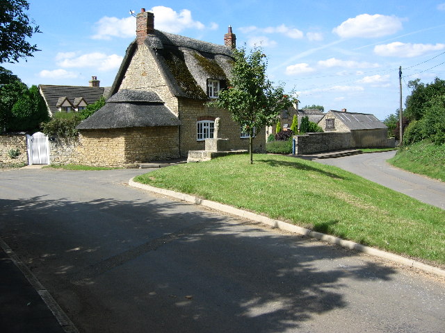 BarrowBarrow, unclassified · 439 yd
 Water millWater mill, unclassified · 489 yd
 BawnBawn · 1226 yd
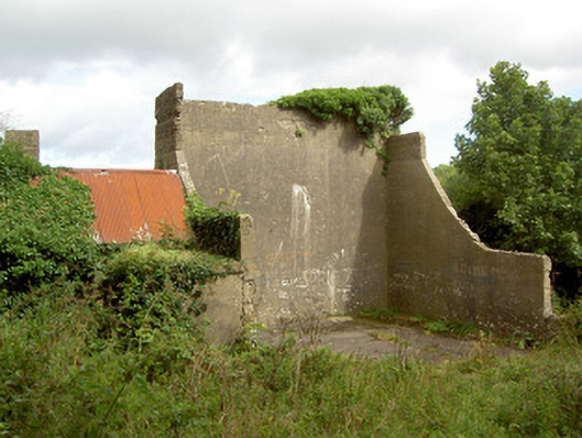 handball alleyhandball alley · 1728 yd
 Cloonfin WoodForest · 1.5 mi
 Clonfin Ambush MemorialMemorial · 1.7 mi
 Granard MotteMotte-and-bailey castle remains · 2.4 mi
 Moat of GranardCastle, motte and bailey · 2.4 mi
 1798 Monumentmonument · 2.5 mi
 InchmoreIslet · 2.9 mi
 Derrycassan WoodsWood · 3.2 mi
Other information
Photo: Credit not shown in the picture search · Rights wording not checked; contact us if this picture should be removed