What is recorded here
Marked only on the 1928 ed. of the OS 6-inch map, and situated in a grass and furze-covered area towards the bottom of a W-facing slope. Circular grass-covered area (diam. 4.5m; H 0.05m) defined by a slight fosse (Wth of base 0.8-1.4m; D 0.05-0.1m) with an outer earthen bank (Wth 2.2-2.6m; H 0.3-0.6m). There is an entrance (Wth 1.1m) at ESE (max. ext. diam. 12.7m NE-SW).
Compiled by: Michael Moore
Date of upload: 24 August 2010
Embanked enclosure, possibly dating to the Early Bronze Age. Its significance lies in its rarity and potential as a ceremonial or defensive structure, though its exact function remains unclear.
The monument record does not grant public access. Check the route and ask the landowner before entering private land.
- What survives
- Recorded monument
Places near here
 Enclosure in Tonlegee (ballintober South By., Cams Ed)Enclosure · 1523 yd
 IndicatedFairy fort / earthen ringfort · 1525 yd
 Fortview Househouse · 1.3 mi
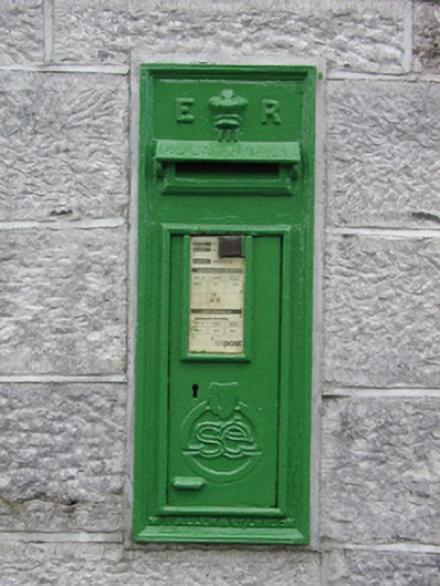 post boxpost box · 2.3 mi
 CastleCastle, unclassified · 2.8 mi
 Roscommon CastleCastle · 3.0 mi
 Leitrim CastleCastle, unclassified · 3.6 mi
 Big IslandForest · 5.0 mi
 Little IslandForest · 5.0 mi
 Sally IslandIslet · 8.4 mi
 Site of Killomaine Grave YardArchaeological place · 9.5 mi
 Mount MaryMountain / peak · 10 mi