
What is recorded here
Rathcardan is a fairy fort or earthen ringfort in Rathcardan, County Tipperary, Ireland. The 2002 inventory records a 50-metre north-south by 78-metre east-west oval enclosure on a southeast-facing slope. An earth and stone bank 2.5 metres wide, 1 metre high internally and 1 to 2 metres high externally encloses the area, with an external ditch 3 metres wide and 1.5 metres deep beyond it. The account records the bank as destroyed from east to south by an intersecting field fence and says no clear entrance feature was visible.
Situated on a SE-facing slope of rising ground in an upland area. An oval-shaped area (diam. 50m N-S; 78m E-W) enclosed by an earth and stone bank (Wth 2.5m; int. H 1m; ext. H 1-2m) and an external fosse (Wth 3m; D 1.5m). The inner bank is destroyed from E to S by an intersecting field fence. No clear entrance feature visible.
The above description is derived from 'The Archaeological Inventory of County Tipperary. Vol. 1 - North Tipperary' compiled by Jean Farrelly and Caimin O'Brien (Dublin: Stationery Office, 2002). In certain instances the entries have been revised and updated in the light of recent research.
Date of upload/revision: 22 September 2008
The monument record does not grant public access. Check the route and ask the landowner before entering private land.
- What survives
- Recorded monument
Places near here
 Pallas Bridgebridge · 1069 yd
 Castle (in Ruins)Bawn · 1092 yd
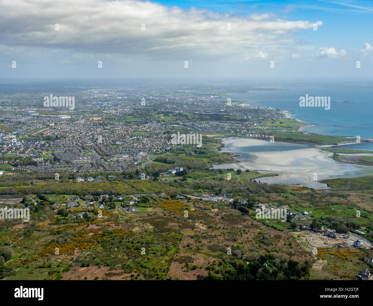 Enclosure in Rusheen MoreEnclosure · 1.0 mi
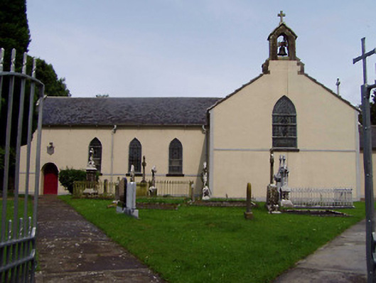 Ileigh Catholic Churchchurch/chapel · 1.1 mi
 LissHilltop enclosure · 1.1 mi
 CastleCastle, ringwork · 1.4 mi
 Moher HillMountain / peak · 2.2 mi
 Pallas HillMountain / peak · 2.3 mi
 Kilvilcorris BogForest · 3.6 mi
 Killavalla WoodForest · 6.1 mi
 Cormackstown Heritage CentreMuseum · 6.4 mi
 Old BarracksHeritage attraction · 13 mi
Other information
Photo: Credit not shown in the picture search · Rights wording not checked; contact us if this picture should be removed