
What is recorded here
Enclosure in Rathbrack is a rectangular embanked site at the south edge of a plain, overlooking the north bank of the River Blackwater. The 1836 Ordnance Survey map called it a fort, yet showed only bushes inside its banks. In 1969 a low earthen edge still marked a rectangular area near the water. That much is known; the rest is imagination, perhaps a household, a watch post or a boundary made flesh by soil and memory.
Situated at the S edge of a plain and overlooking the N bank of a W-E section of the River Blackwater, with the stream c. 55m to the S. It is depicted as a rectangular embanked enclosure (ext. dims c. 35m NNE-SSW; c. 25-30m) with some bushes only on the 1836 edition of the OS 6-inch map where it is described as a ‘Fort’. It was visible in 1969 as a rectangular area (dims 29.5m N-S; 18m E-W) defined by a low earthen bank (at E: Wth of base c. 5m). It could be a moated site, although it is not visible on any available aerial images.
The above description is derived from the published 'Archaeological Inventory of County Meath' (Dublin: Stationery Office, 1987). In certain instances the entries have been revised and updated in the light of recent research.
Compiled by: Michael Moore
Date of revision: 25 February 2019
The monument record does not grant public access. Check the route and ask the landowner before entering private land.
- What survives
- Recorded monument
Places near here
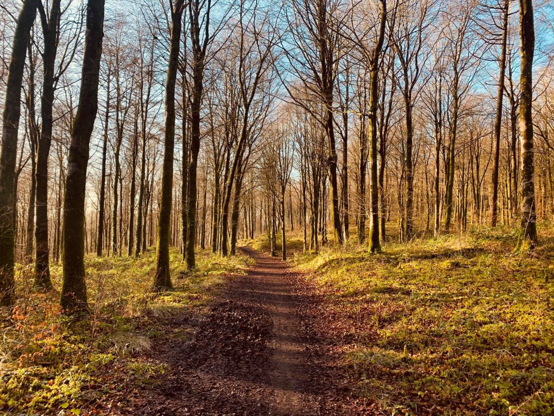 Ballynamona ForestForest · 936 yd
 Castlepole ForestForest · 1053 yd
 ChapelChurch · 1427 yd
 CrossCross, High cross · 1441 yd
 Grave YardGraveyard · 1442 yd
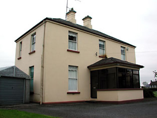 presbytery/parochial/curate's housepresbytery/parochial/curate's house · 1646 yd
 MoatCastle, motte and bailey · 1694 yd
 The Kieran Flanagan WayMemorial · 1.3 mi
 Great Famine ProjectMemorial · 1.4 mi
 MaperathMountain / peak · 1.4 mi
 MountainpoleMountain / peak · 1.4 mi
 FortsCastle, motte and bailey · 3.0 mi
Other information
Photo: Credit not shown in the picture search · Rights wording not checked; contact us if this picture should be removed