What is recorded here
Fairy fort / earthen ringfort in Ranaghan More is a fairy fort or earthen ringfort in Ranaghan More, County Sligo, Ireland. The oval site measures 33.5 metres north-south and 18 metres east-west within low-lying waterlogged ground. A 1.5 metre wide earthen bank stands 0.5 metre high on both sides, while a 3.5 metre wide fosse cuts 0.3 metre deep all around. Trees and bushes cover the western arc where the bank remains most visible.
In low-lying waterlogged ground. An oval area (int. diam. 33.5m N-S; 18m E-W) defined by the remains of an earthen bank and external fosse. The bank (Wth 1.5m; int. H 0.5m; ext. H 0.5m) is best evident along the W arc and is covered with trees and bushes. The waterlogged fosse (Wth 3.5m; D 0.3m) is evident all round.
The above description is derived from the published 'Archaeological Inventory of County Sligo' compiled by Ursula Egan, Elizabeth Byrne, Mary Sleeman with Sheila Ronan and Connie Murphy (Dublin Stationery Office, 2005).
Date of upload: 18 January 2008
The monument record does not grant public access. Check the route and ask the landowner before entering private land.
- What survives
- Recorded monument
Places near here
 Bleach MillMill, bleaching · 468 yd
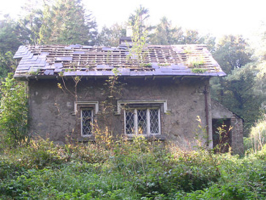 Annaghmore Housegate lodge · 1075 yd
 IndicatedFairy fort / earthen ringfort · 1080 yd
 St. Fechins WellHoly well · 1119 yd
 Moymlough Castle (in Ruins)Castle, tower house · 1.7 mi
 European ashEuropean ash · 2.4 mi
 Castle (Site of)Castle, unclassified · 2.5 mi
 ElderElder · 2.7 mi
 Tullaghan HillMountain / peak · 2.7 mi
 CroaghaunMountain / peak · 3.3 mi
 James MorrisonMemorial · 4.6 mi
 RinnatalleenHeadland · 4.8 mi