What is recorded here
Situated on the ENE face of a high ridge running WNW-ESE, with excellent views to the N & NE. Ringfort (WM008-052----) 200m to NE. Ringfort (WM008-050----) 190m to N. A field fence which is also the townland boundary with Collinstown skirts the E side of the monument. A sub-circular shaped area (approx. diam. 30.6m N-S; 33m E-W) enclosed by a poorly preserved earthen bank and deep-flat-bottomed external fosse. The bank is fragmentary, and the fosse has been filled up from N-E where it has been intersected by a post-1700 field fence. There is an entrance gap (Wth 1.4m) at ENE. The interior slopes from W-E.
Compiled by: Frank Coyne and Caimin O'Brien
Date of upload: 20 April 2017
A fairy fort or earthen ringfort in Ranaghan is a circular earthwork typical of early-medieval Ireland, likely dating to between the 5th and 10th centuries. Such sites are often associated with local folklore involving fairies or other supernatural beings, though specific traditions for this site are not recorded.
The monument record does not grant public access. Check the route and ask the landowner before entering private land.
- What survives
- Recorded monument
Places near here
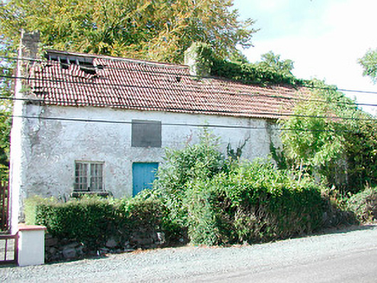 Prize Cottagesworker's house · 538 yd
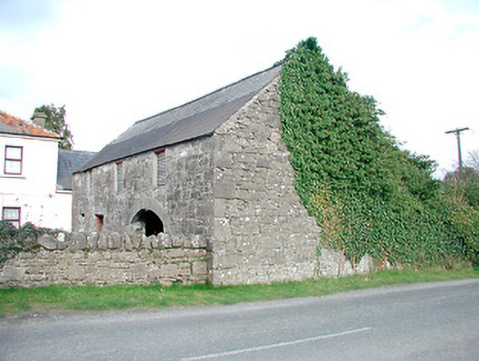 outbuildingoutbuilding · 569 yd
 Hachured, FortfieldFairy fort / earthen ringfort · 952 yd
 CaltraghEcclesiastical enclosure · 1687 yd
 Castle IslandIslet · 1.0 mi
 CastleCastle, tower house · 2.2 mi
 South East GateHeritage attraction · 2.4 mi
 Christians Castle in ruinsCastle, unclassified · 2.4 mi
 St Feichin's MillHeritage attraction · 2.5 mi
 Ben of ForeMountain / peak · 2.7 mi
 The FurzeForest · 2.9 mi
 KnockeyonMountain / peak · 3.4 mi