What is recorded here
Road bridge (Wth 8.75m; long axis NW-SE) over River Allow. Roughly coursed sandstone construction. Two wide segmental arches (span c. 8-10m) with well-dressed limestone voussoirs and prominent key stones; limestone string courses over arches. Bluntly pointed cutwaters of cut stone. Piered abutments at either end of parapet wall; D-shaped limestone coping atop parapet wall. Plaque in parapet wall reads 'William Allen Esq. overseer Executed by M. Fitzgerald 1835'.
The above description is derived from the published 'Archaeological Inventory of County Cork. Volume 4: North Cork' (Dublin: Stationery Office, 2000). In certain instances the entries have been revised and updated in the light of recent research.
Date of upload/revision: 14 January 2009
The monument record does not grant public access. Check the route and ask the landowner before entering private land.
- What survives
- Recorded monument
Places near here
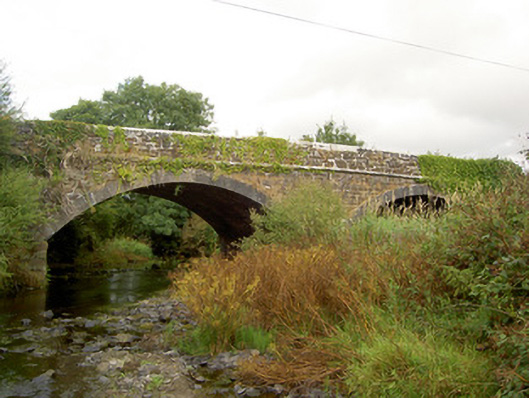 Raheen Bridgebridge · 2 yd
 IndicatedEnclosure · 464 yd
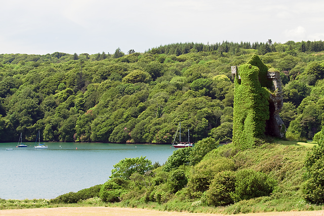 Enclosure in Raheen (duhallow By.)Enclosure · 747 yd
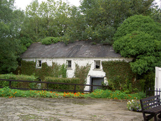 Coolbane Millmill (water) · 1485 yd
 Castle LisheenCastle · 3.2 mi
 National Co-op MuseumMuseum · 3.6 mi
 Carrig Castle (Site of)Castle, unclassified · 3.7 mi
 Stanner's Glen, Priory WoodWood · 4.5 mi
 ToberacappeenSpring · 4.9 mi
 Mullaghareirk - Banane LoopWalking route · 5.3 mi
 KnockacummerMountain / peak · 7.0 mi
 Rock HillMountain / peak · 8.1 mi