What is recorded here
On intertidal zone of River Shannon estuary, c. 80m to E of Carrigadirty Rock and c. 160m to N of flood relief embankment. A pit (LI004-032010-) lies c. 48m to E. Not depicted on OS historic mapping. Listed as ‘Carrigadirty Rock 4' by O’ Sullivan (2001, 307) who described the site as following; 'Two roundwood posts and one cleft post in fen peats on the sloping E bank of modern mudflat creek, S of Carrigdirty Rock. Two posts lay horizontally in peat and a single post was driven at an angle into peats. This post was cleft on four surfaces to a sharpened point. July 1996.'
See attached Google Earth orthoimage
Compiled by: Alison McQueen and Vera Rahilly
Date of upload: 19 June 2020
The monument record does not grant public access. Check the route and ask the landowner before entering private land.
- What survives
- Recorded monument
Places near here
 Habitation site in Newtown (pubblebrien By.)Habitation site · 804 yd
 Grass IslandIslet · 1.2 mi
 Rinekirk PointHeadland · 1.4 mi
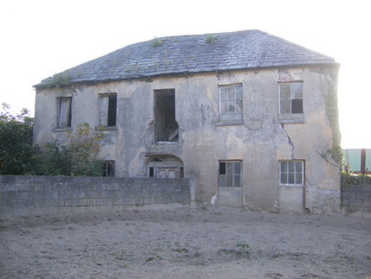 Churchfield Dairyhouse · 1.4 mi
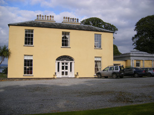 Mellon Housecountry house · 1.4 mi
 Maiden RockNamed rock · 1.5 mi
 Enclosure in BallynacarrigaEnclosure · 1.7 mi
 Sailors HaggardMemorial · 1.8 mi
 Castle Donnell (Site of)Castle, unclassified · 2.1 mi
 Carrigogunnell CastleRuins · 2.2 mi
 St James's WellSpring · 2.4 mi
 Bunratty Castlehouse · 2.4 mi