What is recorded here
Pits are visible on aerial photograph (ACAP: V206/ 60, 59, 44) situated on a level landscape. No feature is visible at ground level in pasture, although c. 15-20 small pits aligned E-W can be seen as features in a Lidar image (Davis 2015, 77, No. 33:3) in an area of about 15 acres (c. 6 ha.).
Compiled by: Michael Moore
Date of revised upload: 4 February 2016
The monument record does not grant public access. Check the route and ask the landowner before entering private land.
- What survives
- Recorded monument
Places near here
 CaheraunFairy fort / earthen ringfort · 1046 yd
 Enclosure in Corry EastEnclosure · 1128 yd
 Ancient RoadRoad, road/trackway · 1.6 mi
 War of Independence Commemorative Military MemorialMemorial · 3.1 mi
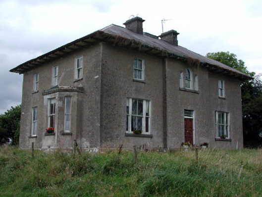 Rossmore Househouse · 3.2 mi
 GortnacushlaunCastle, unclassified · 3.5 mi
 European ashEuropean ash · 4.0 mi
 ToberagullaSpring · 4.0 mi
 CastleCastle, unclassified · 4.1 mi
 Cruachan Aí Heritage CentreMuseum · 4.1 mi
 Gray's WoodForest · 5.7 mi
 Fairymount HillMountain / peak · 7.9 mi