
What is recorded here
On the N-facing slope of Rathcroghan ridge. It ran from the complex rath of Rathmore (RO022-056017-) down the slope just W of enclosure (RO022-056015-), E of barrow (RO022-056004-) and the mound Croghaunbawn (RO022-056003-) to an E-W public road (L c. 2 km). It may have been continued c. 1km to the N by a N-S public road, and the avenue to Mantua House (total L c. 4km).
Only short sections are visible to-day, but it is known locally to be a hard stony surface which parches in dry weather. Just N of Rathmore it is a grass-covered causeway (Wth 6m; H c. 0.4m; L c. 100m) with a drystone wall on the E side. About 200m to the N is a further section (L c.100m) visible as a causeway (Wth 2m; H 0.3-0.6m) with a drystone wall down the centre and a flat-bottomed silted ditch (Wth of base 1.7m; D 0.3m) on the W side. W of the ditch a parched strip (Wth c. 2m) indicates a bank. To the N of an E-W public lane in Ballyconboy it is visible as a causeway (Wth 7m; H c. 0.2m; L c. 300m) from which a stone wall has been removed and with a lush grass strip on the W side.
Compiled by: Michael Moore
Date of upload: 24 August 2010
This remains an important historical record, but the official description says the monument is no longer visible or has been destroyed. The monument record does not grant public access. Check the route and ask the landowner before entering private land.
- What survives
- No visible remains or recorded as destroyed
Places near here
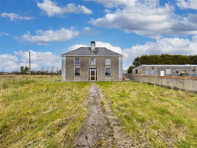 Enclosure in BallyconboyEnclosure · 329 yd
 RathmoreFairy fort / earthen ringfort · 419 yd
 RoadRoad, road/trackway · 1.6 mi
 Mount Druid Housestables · 2.8 mi
 CastlerubyCastle, unclassified · 2.8 mi
 European ashEuropean ash · 2.9 mi
 ToberagullaSpring · 2.9 mi
 GortnacushlaunCastle, unclassified · 3.2 mi
 Cruachan Aí Heritage CentreMuseum · 3.4 mi
 War of Independence Commemorative Military MemorialMemorial · 4.2 mi
 Gray's WoodForest · 6.2 mi
 Silver IslandIslet · 7.1 mi
Other information
Photo: Credit not shown in the picture search · Rights wording not checked; contact us if this picture should be removed