
What is recorded here
At the N edge of the Rathcroghan plateau, and within the ceremonial enclosure (RO022-056050-). Circular grass-covered earthen platform (diam. of top 35.5m N-S; 32.5m E-W; diam. of base 65m N-S; 61m E-W) which has a N-S ridge through the centre. It is defined by an earthen bank (int. H 0.3-0.7m) NNW-E-SW and a scarp elsewhere (H 4.5m over 10m at S to H 6.2m over 14m at N). It is surrounded by a flat-bottomed, partly rock-cut fosse (Wth of base 3.5m at S to 6-7m generally; D 0.3-0.8m), and there is an outer bank (Wth 6.5m; H 0.4m) NNW-NNE (max. ext. diam. 79.5m N-S; 77.3m E-W). The entrance (Wth 3.3m) and causeway (Wth 3.3m; H 1m) are at SE, and the fosse has been quarried NE-SE with the ancient spoil added to the fosse at NE. Little Rathbeg (RO022-056-016-) is c. 160m to the WSW. (Knox 1911, 224-5, 240; 1914, 13; Herity 1983, 132; 1988, 138, Toberrory 1; Waddell 1983, 35, 37; 1988, 7-8, No. 26)
Geophysical survey revealed that it may be built around a slight natural rise, but it also recorded anomalies suggestive of two, or possibly three penannular structures that are probably hut-sites on the summit. The central one (ext. diam. c. 15m) appears to have a hearth and an E entrance, while that to the SW appears to underlie the rath bank. (Waddell et al. 2009, 66-79)
See the three attached view from the SE (002) and aerial images from the E (004) and N (009).
Compiled by: Michael Moore
Date of upload: 24 August 2010
This monument is subject to a preservation order made under the National Monuments Acts 1930 to 2014 (PO no. 20/1934), and it is a National Monument in state ownership: No. 294.
Rathmore, Toberrory is a circular, grass-covered earthen ringfort, likely dating to the early medieval period, situated on the northern edge of the Rathcroghan plateau, an area of significant archaeological and mythological importance. Local folklore and historical context associate the site with the broader royal and ritual landscape of the Connachta, though specific legends tied to this rath are not well recorded.
The monument record does not grant public access. Check the route and ask the landowner before entering private land.
- What survives
- Recorded monument
Places near here
 Ancient RoadRoad, road/trackway · 419 yd
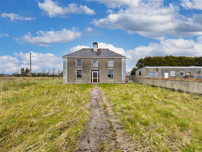 Enclosure in BallyconboyEnclosure · 683 yd
 Enclosure in ToberroryEnclosure · 809 yd
 RoadRoad, road/trackway · 1.5 mi
 CastlerubyCastle, unclassified · 2.6 mi
 European ashEuropean ash · 2.7 mi
 ToberagullaSpring · 2.7 mi
 CastleCastle, unclassified · 3.1 mi
 Cruachan Aí Heritage CentreMuseum · 3.2 mi
 War of Independence Commemorative Military MemorialMemorial · 4.3 mi
 Gray's WoodForest · 6.5 mi
 Silver IslandIslet · 7.0 mi
Other information
Photo: Credit not shown in the picture search · Rights wording not checked; contact us if this picture should be removed