What is recorded here
Archaeological monitoring of the widening of a NE-SW drain 5m to the NW of enclosure (RO021-023001-) revealed a stone lintel bridge (Wth 2.5m; H 1; L 1m) which is post-medieval leading into the enclosure (Lavelle 1993).
From the National Monuments Service (Archaeological Survey of Ireland) record RO021-023003
The monument record does not grant public access. Check the route and ask the landowner before entering private land.
- What survives
- Recorded monument
Places near here
Photo credits
- National Inventory of Architectural Heritage
- Davsca at English Wikipedia, Wikimedia Commons · CC BY 3.0
- Willow, Wikimedia Commons · CC BY 2.5
- Jscaguiat, Wikimedia Commons · CC BY-SA 4.0
- Eric Jones, Geograph · Creative Commons Attribution-ShareAlike 2.0
- Mike Searle, Wikimedia Commons · CC BY-SA 2.0
- Didier Descouens, Wikimedia Commons · CC BY-SA 4.0
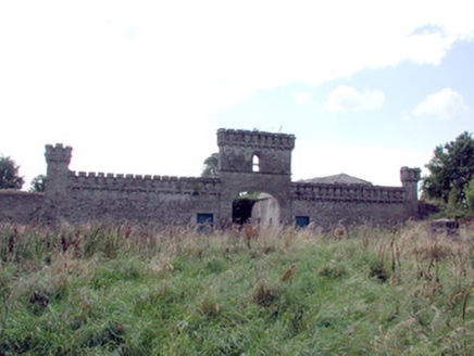 Mount Druid HouseStables · 1265 ydGortnacushlaunCastle, unclassified · 1.3 mi
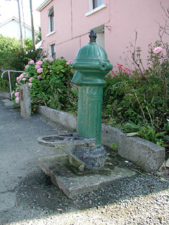 water pump1.3 mi
 RathcroghanMound · 3.6 miFairymount HillMountain / peak · 4.4 miSilver IslandIslet · 4.8 miWorkhouse MemorialMemorial · 5.3 mi
 European ash5.4 mi
 Clonalis HouseMuseum · 5.8 mi
 Grave YardGraveyard · 6.2 mi
.jpg/250px-Castles_of_Connacht-_Ballintober,_Roscommon_(geograph_1954203).jpg "Photo: Mike Searle, Wikimedia Commons · CC BY-SA 2.0") CastleCastle, Anglo-Norman masonry castle · 6.7 mi
CastleCastle, Anglo-Norman masonry castle · 6.7 mi Hawthorn10 mi
More historic places in County Roscommon · All of County Roscommon
What do you know about this place?