
What is recorded here
On a level landscape at the E foot of the Rathcroghan plateau. Described in 1987 as a fragment of a roadway (L c. 500m) defined by earthen banks (SMR file) at the N end of field system (RO022-057058-) and within pitfield (RO022-057059-). At its W end it may have turned S (L c. 160m) to join the E end of road (RO022-057021-) at Tober Caoch (RO022-057053-), but there is no evidence of this. At its E end it ran past a farmhouse in Cammoge (ACAP: V206/ 22, 21) (L c. 1km), connecting with its old entrance lane and is continued by the lane runniing past raths (RO022-57056-; RO022-079----). It is no longer visible at ground level in pasture, except for a section (L c. 300m) in Carrowgobbadagh.
Compiled by: Michael Moore
Date of upload: 24 August 2010
The monument record does not grant public access. Check the route and ask the landowner before entering private land.
- What survives
- Recorded monument
Places near here
 TobercroghoorHoly well · 664 yd
 Embanked enclosureFairy fort / earthen ringfort · 825 yd
 European ashEuropean ash · 1.6 mi
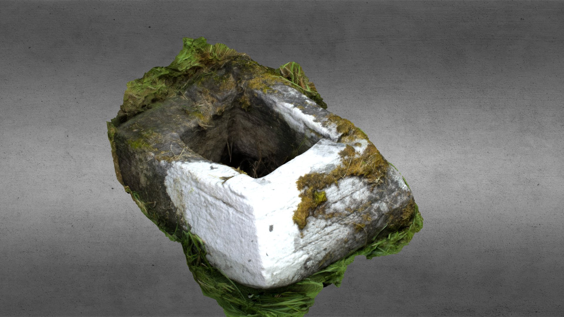 Church in OgullaChurch · 1.6 mi
 ToberagullaSpring · 1.6 mi
 Ancient RoadRoad, road/trackway · 1.6 mi
 CastleCastle, unclassified · 1.8 mi
 Cruachan Aí Heritage CentreMuseum · 1.8 mi
 CastlerubyCastle, unclassified · 2.5 mi
 War of Independence Commemorative Military MemorialMemorial · 3.6 mi
 Sweet ChestnutSweet Chestnut · 7.4 mi
 Silver IslandIslet · 8.0 mi
Other information
Photo: Credit not shown in the picture search · Rights wording not checked; contact us if this picture should be removed