What is recorded here
Burying Ground is a graveyard in Piercefield or Templeoran, County Westmeath, Ireland. It is a circular enclosure approximately 47 metres north-south and 45 metres east-west, surrounded by a stone wall of post 1700 date. The 1837 edition of the Ordnance Survey 6-inch map depicts Templeoran Church standing in the centre, where the ruins and tombstones from the 18th to 20th centuries now lie. The boundary may follow the line of an Early Christian ecclesiastical enclosure.
Depicted on the 1837 ed. OS 6-inch map and annotated as ‘Templeoran Church’ (WM011-098----) where it is depicted standing in the centre of a circular shaped graveyard or ‘Burying Ground’. A circular shaped graveyard (approx. diam. 47m N-S; 45m E-W) enclosed by a stone wall of post 1700 date. In the centre there are the ruins of Templeoran Church (WM011-099---) and tombstones dating from the 18th-20th centuries. The circular shaped graveyard boundary may follow the line of an Early Christian ecclesiastical enclosure (WM011-099002-).
Compiled by: Frank Coyne and Caimin O'Brien
Date of upload: 25 August 2017
The monument record does not grant public access. Check the route and ask the landowner before entering private land.
- What survives
- Recorded monument
Places near here
 Templeoran ChurchChurch · 18 yd
 Partially hachuredFairy fort / earthen ringfort · 616 yd
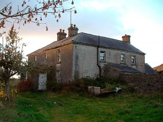 Johnstown Househouse · 1367 yd
 IndicatedBawn · 1437 yd
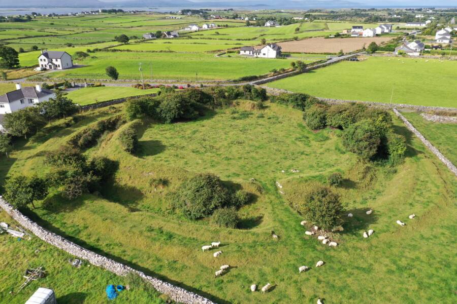 Fairy fort / ringfort in Grange (moygoish By.)Fairy fort / ringfort · 1735 yd
 Castle Quarter, Castle (in ruins)Castle, unclassified · 1.6 mi
 Baronstown ForestWood · 2.5 mi
 Carrickphilbin IslandIslet · 2.5 mi
 Horse-chestnutHorse-chestnut · 2.7 mi
 Srudarra IslandIslet · 3.3 mi
 Bridge Memorial (Kenna)Memorial · 4.3 mi
 Goldsmith Birthplace, PallasVisitor information · 10 mi