
What is recorded here
Depicted on the 1837 ed. OS 6-inch map and annotated as ‘Templeoran Church’ where it is depicted standing in the centre of a circular shaped graveyard or ‘Burying Ground’ (WM011-099001-). The poorly preserved ivy-covered building (approx. dims. 17m E-W; 7m N-S) is aligned ENE-WSW. The only visible section of the walls are the W gable and the grass-covered wall footings of the SW angle of the church. Part of the WSW wall survives to a height of 2.5m. No architectural features or cut stones visible. The circular shaped graveyard boundary may follow the line of an Early Christian ecclesiastical enclosure (WM011-099002-).
Compiled by: Frank Coyne and Caimin O'Brien
Date of upload: 25 August 2017
Templeoran Church, located in a circular graveyard, is believed to have been built in the 17th or early 18th century, likely by a local landowning family, and reflects a simple vernacular ecclesiastical style. Its survival into the 19th century and depiction on the Ordnance Survey map highlight its historical and local significance as a rural place of worship.
The monument record does not grant public access. Check the route and ask the landowner before entering private land.
- What survives
- Recorded monument
Places near here
 Partially hachuredFairy fort / earthen ringfort · 623 yd
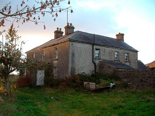 Johnstown Househouse · 1379 yd
 IndicatedBawn · 1423 yd
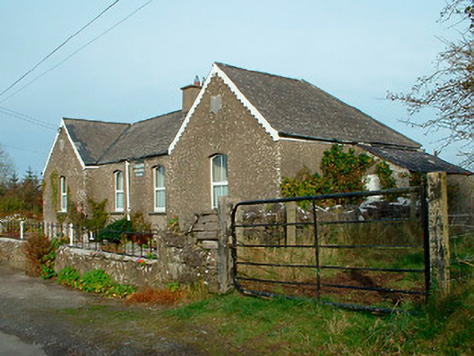 Balrath National Schoolschool · 1656 yd
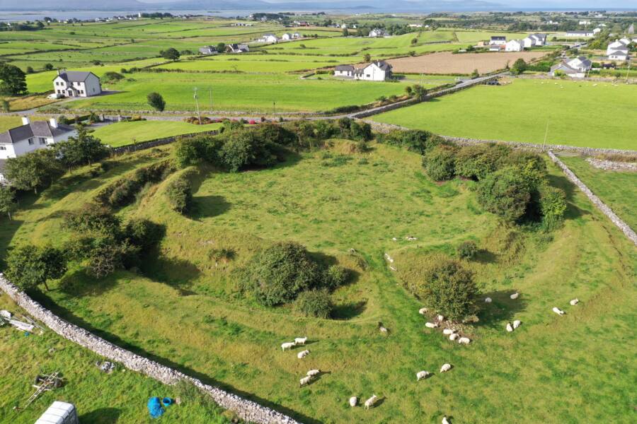 Fairy fort / ringfort in Grange (moygoish By.)Fairy fort / ringfort · 1726 yd
 Castle Quarter, Castle (in ruins)Castle, unclassified · 1.6 mi
 Baronstown ForestWood · 2.5 mi
 Carrickphilbin IslandIslet · 2.5 mi
 Horse-chestnutHorse-chestnut · 2.7 mi
 Srudarra IslandIslet · 3.3 mi
 Bridge Memorial (Kenna)Memorial · 4.3 mi
 Goldsmith Birthplace, PallasVisitor information · 10 mi
Other information
Photo: Credit not shown in the picture search · Rights wording not checked; contact us if this picture should be removed