
What is recorded here
Situated on top of a prominent hill in grassland with good views. The public road which forms the boundary with Johnstown townland intersects the NE half of the site and has levelled it on this side. All that remains now is a substantial earthen bank (Wth 1.5m) visible on the S side of the road which curves from S-W with a wide shallow external fosse.
Compiled by: Frank Coyne and Caimin O'Brien
Date of upload: 29 August 2017
The monument record does not grant public access. Check the route and ask the landowner before entering private land.
- What survives
- Recorded monument
Places near here
 Templeoran ChurchChurch · 623 yd
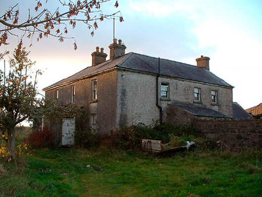 Johnstown Househouse · 809 yd
 IndicatedBawn · 1386 yd
 Enclosure in Sonna DemesneEnclosure · 1.2 mi
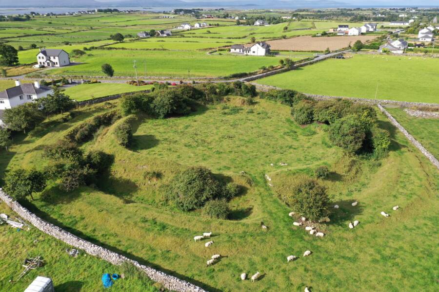 Fairy fort / ringfort in Grange (moygoish By.)Fairy fort / ringfort · 1.3 mi
 Castle Quarter, Castle (in ruins)Castle, unclassified · 1.8 mi
 Carrickphilbin IslandIslet · 2.2 mi
 Baronstown ForestWood · 2.9 mi
 Srudarra IslandIslet · 2.9 mi
 Horse-chestnutHorse-chestnut · 3.0 mi
 Bridge Memorial (Kenna)Memorial · 4.3 mi
 Abbeyshrule AbbeyRuins · 8.3 mi
Other information
Photo: Credit not shown in the picture search · Rights wording not checked; contact us if this picture should be removed