
What is recorded here
Situated on poorly drained lands of Sonna Demesne with possible ditch-barrow (WM018-161----) 30m to SSE. Roughly D-shaped earthwork (approx. diam. 30m NNW-SSE) defined by a ditch with straight side at SW is visible on Digital Globe aerial photography. Not depicted on any edition of the OS maps.
Compiled by: Caimin O'Brien
Date of upload: 11 February 2019
The monument record does not grant public access. Check the route and ask the landowner before entering private land.
- What survives
- Recorded monument
Places near here
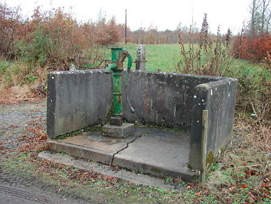 water pumpwater pump · 652 yd
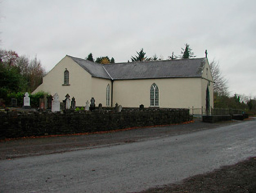 Saint Michael's Catholic Churchchurch/chapel · 733 yd
 OutlinedFairy fort / earthen ringfort · 1.0 mi
 Partially hachuredFairy fort / earthen ringfort · 1.2 mi
 Simonstown Castle (in Ruins)Castle, unclassified · 1.7 mi
 CastleCastle, tower house · 1.9 mi
 WestmeathVisitor information · 2.0 mi
 Carrickphilbin IslandIslet · 2.8 mi
 Baronstown ForestWood · 3.1 mi
 Ancient Ring FortWood · 3.2 mi
 Srudarra IslandIslet · 3.4 mi
 Abbeyshrule AbbeyRuins · 7.7 mi
Other information
Photo: Credit not shown in the picture search · Rights wording not checked; contact us if this picture should be removed