What is recorded here
Indictated was a fifty-metre fairy fort in County Cork pasture, visible on the 1842 map before ploughs and fences erased most of its shape. It is called a rath, yet local memory may preserve more than survey lines because the land still carries the ghost of that circle. What was built there has vanished, but the naming and the remaining curve suggest people once marked the place as worthy of notice.
In pasture. Shown on 1842 OS 6-inch map as hachured circular enclosure (diam. c.50m). S part of site retained in curved field fence on later eds of OS 6-inch map. Levelled; low undulations in field.
The above description is derived from the published 'Archaeological Inventory of County Cork. Volume 2: East and South Cork' (Dublin: Stationery Office, 1994). In certain instances the entries have been revised and updated in the light of recent research.
Date of upload/revision: 14 January 2009
The monument record does not grant public access. Check the route and ask the landowner before entering private land.
- What survives
- Recorded monument
Places near here
 Douglas Villahouse · 1096 yd
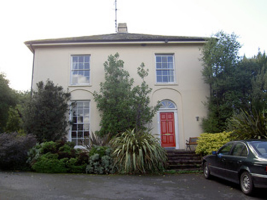 Brideweir Houserectory/glebe/vicarage/curate's house · 1256 yd
 Folacht FiadhFulacht fia · 1259 yd
 St Bridgets WellHoly well · 1277 yd
 Aghern CemeteryWood · 1367 yd
 Aghern CastleCastle · 1493 yd
 Castle (in Ruins)Castle, tower house · 1.0 mi
 Castlebrook forestWood · 2.8 mi
 Graveyard in KillasseraghGraveyard · 3.0 mi
 Graveyard in Curraheen (kinnatalloon By.)Graveyard · 3.3 mi
 Pope's WellSpring · 4.0 mi
 Rathcormac massacremassacre · 4.8 mi