What is recorded here
In improved pasture, 50m NW of a public road and 200m W of a townland boundary with Kilcullane. Not depicted on OSi historic maps. Monument identified by the Bruff aerial photographic survey in 1986 (Bruff 172: AP 4/3605), as a short linear-shaped cropmark running N-S with a small L-shaped cropmark close to E. The two cropmarks are visible on the Bruff aerial photographic survey form part of a very faint, roughly semicircular-shaped cropmark (C 25m) from WSW-W-N-E which is apparent on OSi orthoimage taken 2005-2012 and on Google Earth orthoimage taken 04/04/2013.
See attached Google Earth orthoimage and Bruff aerial survey image labelled 172.
Compiled by: Alison McQueen and Vera Rahilly
Date of upload: 13 November 2020
The monument record does not grant public access. Check the route and ask the landowner before entering private land.
- What survives
- Recorded monument
Places near here
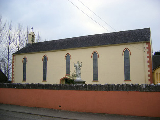 Saint Patrick's Catholic Churchchurch/chapel · 397 yd
 Enclosure in PatrickswellEnclosure · 596 yd
 RoadRoad, road/trackway · 647 yd
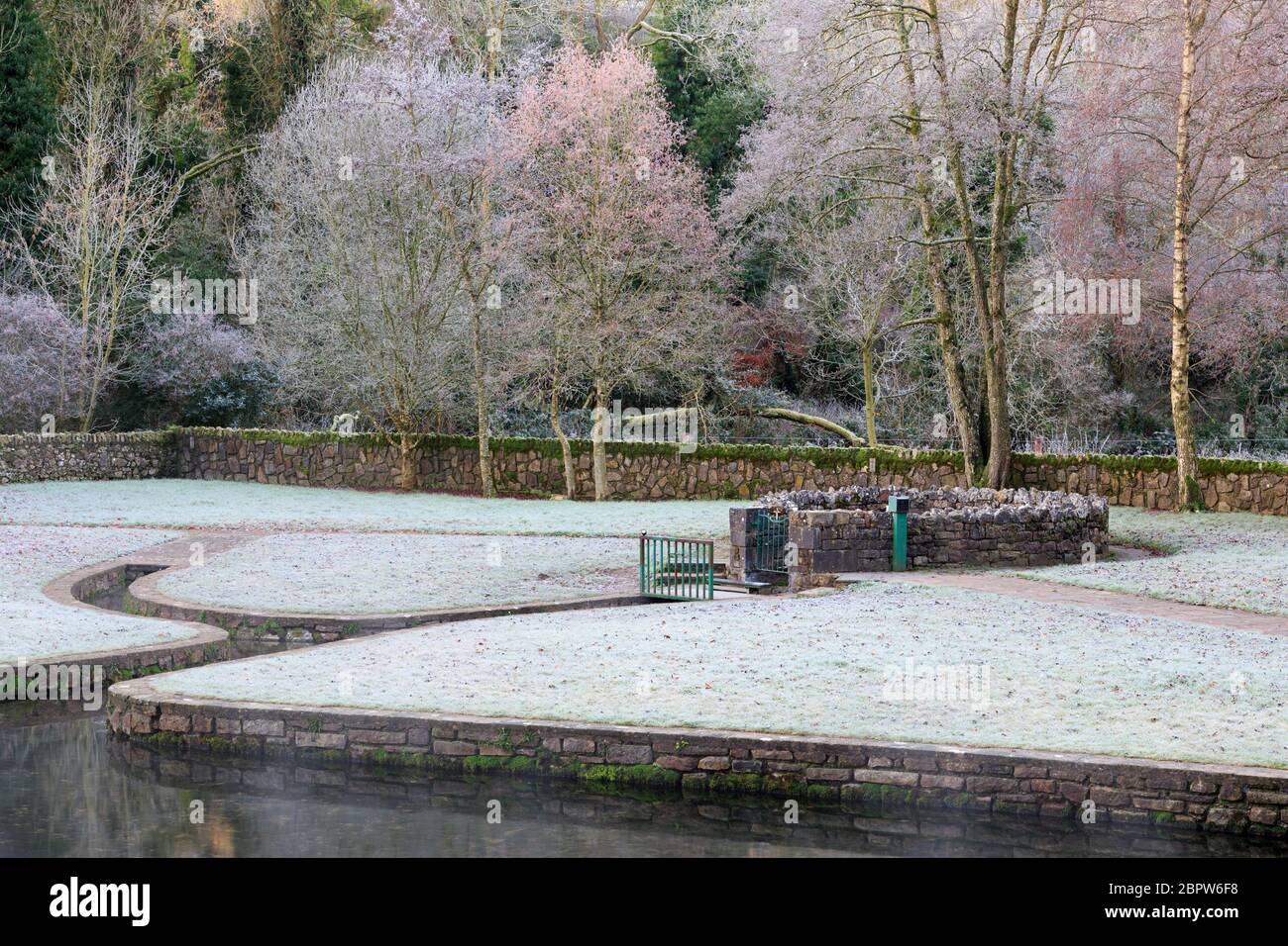 St Patricks WellHoly well · 881 yd
 Castle (in ruins)Castle, unclassified · 1393 yd
 Bawn in Ballinscoola (smallcounty By., Cahercorney Ed)Bawn · 1609 yd
 Glen BogForest · 1.1 mi
 Pedunculate OakPedunculate Oak · 1.2 mi
 Lough Gur Heritage CentreVisitor information · 1.3 mi
 The SpectaclesVisitor information · 1.4 mi
 Grange Stone CircleArchaeological place · 1.7 mi
 Lough GurVisitor information · 1.8 mi