
What is recorded here
In improved pasture, abutting a public road to S, 20m E of a watercourse which also marks a boundary with Loughgur townland and Lough Gur lies 1.35km to NW. Not depicted on OSi historic maps. Monument identified as a roughly rectilinear-shaped cropmark by the Bruff aerial photographic survey in 1986 (Bruff 214: AP 5/2012). Monument is visible as a very faint rectilinear-shaped cropmark (38m N-S; 31m E-W) on OSi orthoimage taken 2005-2012 and a similar, faint cropmark on Google Earth orthoimage taken 25/03/2017.
See attached Google Earth orthoimage and Bruff aerial survey image labelled 204.
Compiled by: Alison McQueen and Vera Rahilly
Date of upload: 13 November 2020
A local fairy fort (ringfort/rath); wider significance not recorded.
The monument record does not grant public access. Check the route and ask the landowner before entering private land.
- What survives
- Recorded monument
Places near here
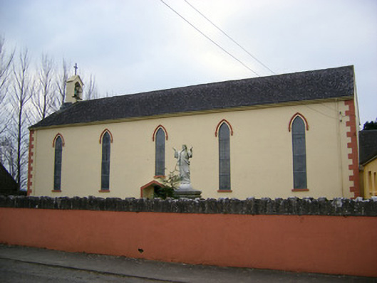 Saint Patrick's Catholic Churchchurch/chapel · 229 yd
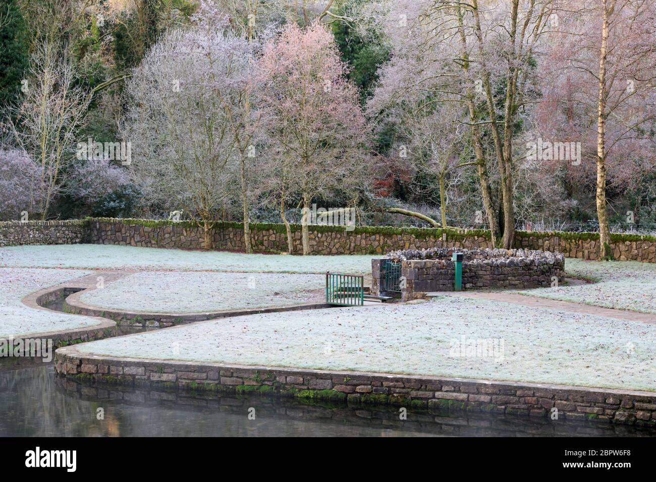 St Patricks WellHoly well · 679 yd
 Grave YardGraveyard · 706 yd
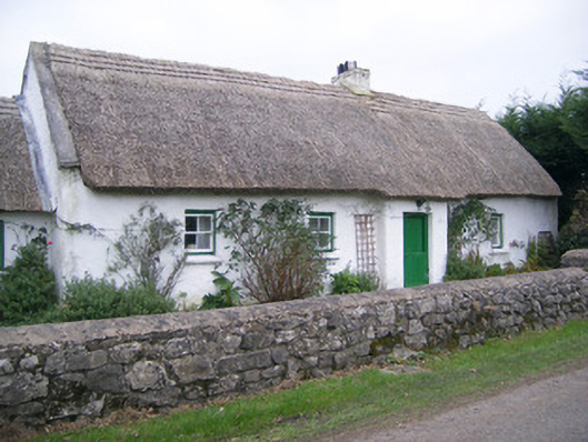 Maura's Cottagehouse · 1053 yd
 Black Castle (in ruins)Castle, tower house · 1545 yd
 Glen BogForest · 1648 yd
 Castle (in ruins)Castle, unclassified · 1.1 mi
 Pedunculate OakPedunculate Oak · 1.2 mi
 Lough Gur Heritage CentreVisitor information · 1.3 mi
 The SpectaclesVisitor information · 1.4 mi
 Grange Stone CircleArchaeological place · 1.5 mi
 Lough GurVisitor information · 1.5 mi
Other information
Photo: Credit not shown in the picture search · Rights wording not checked; contact us if this picture should be removed