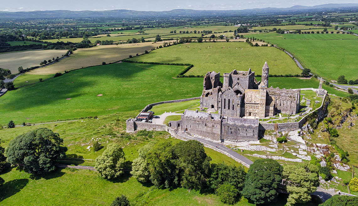
What is recorded here
Situated on the edge of a rise, in gently undulating pasture land, with good views of the surrounding landscape. Depicted on the 1910 ed. OS 25-inch map as the arc of a scarp, which based on the curvature, formed the western arc of a larger earthwork. Monument described in 1973 as a roughly semicircular-shaped area (diam. 36m N-S) defined by a scarp from S-W-N. A low bank can be traced from NE-E-SE. There is a gap from N-NE. The interior is level with a depression near the scarp at S. The ground level to W of the embankment is lower than the interior. Partially levelled ringfort visible today as a tree-lined arc of a bank from SSW-W-NNW and what appears to be a vague cropmark from NNW-N-E-S-SSW on Digital Globe aerial photography. This ringfort may have been reused as a burial mound during the 17th century.
Compiled by Alison McQueen, Vera Rahilly and Caimin O’Brien.
Date of upload: 11 November 2019
The monument record does not grant public access. Check the route and ask the landowner before entering private land.
- What survives
- Recorded monument
Places near here
 CastleCastle, ringwork · 735 yd
 Enclosure in MoyvoughlyEnclosure · 1659 yd
 OutlinedEnclosure · 1752 yd
 gates/railings/wallsgates/railings/walls · 1.0 mi
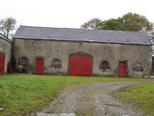 Moyvoughly Housestables · 1.3 mi
 Japanese pagoda treeJapanese pagoda tree · 1.7 mi
 Site of Lissanode CastleCastle, unclassified · 2.7 mi
 Charles BianconiMemorial · 3.4 mi
 Dún na Sí Heritage CentreMuseum · 3.4 mi
 The Bob Traynor GalleryGallery · 3.5 mi
 Moate HillMountain / peak · 3.5 mi
 Kilmalady HillMountain / peak · 5.8 mi
Other information
Photo: Credit not shown in the picture search · Rights wording not checked; contact us if this picture should be removed