What is recorded here
Fairy fort in Pallas, County Limerick: a 42m earthen ring with a outer ditch, a south-west gap, and a strangely vertical inner face. It sits in level pasture like a forgotten room set into the earth, large enough for herds, tools, argument and rain. People may have lived there before becoming a fairy name, shaping the bank until it looked less like a home and more like a stage for what they refused to explain.
In level pasture. Circular area (diam. c. 42m) enclosed by an earthen bank (int. H 1.55m; ext. H 2.35m) with an external fosse (D 0.8m; Wth 3.5m). Inner face of bank has been modified recently to form vertical face SE->NNW. Gap (Wth 3.6m) in bank at SSW. Interior level, dry and clear of overgrowth.
Compiled by: Denis Power
Date of upload: 26 August 2011
The monument record does not grant public access. Check the route and ask the landowner before entering private land.
- What survives
- Recorded monument
Places near here
 CastleCastle, unclassified · 495 yd
 Church (in ruins)Church · 888 yd
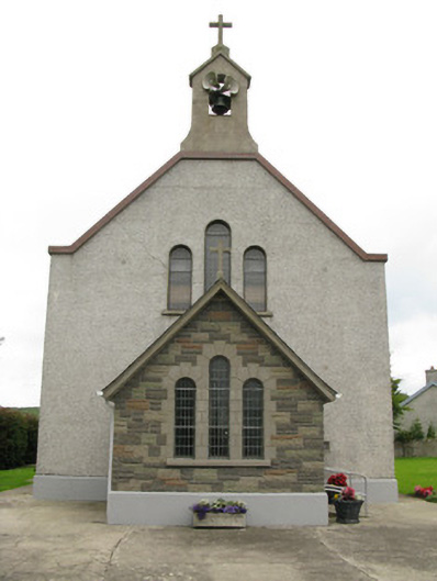 Saint Ita's Catholic Churchchurch/chapel · 1031 yd
 Moated site in BallinruaneMoated site · 1074 yd
 BarrowBarrow, ring-barrow · 1.3 mi
 Garbally WellSpring · 1.3 mi
 Mayne Ho.Castle, unclassified · 2.0 mi
 ToberhoranSpring · 2.3 mi
 National Co-op MuseumMuseum · 5.0 mi
 Famine stoneMemorial · 5.6 mi
 KnockfeerinaMountain / peak · 5.9 mi
 Ballagh MountainMountain / peak · 8.1 mi