What is recorded here
Fairy fort in Pallas, County Limerick: a 37 m earthen ring on a gentle south-east slope, its scarped edge and outer ditch still drawing a line through pasture. The north half has choked into dense overgrowth while the south half remains open under rough grass, as if the place kept one side hidden and one side visible. People may have lived, herded or avoided it there before memory thinned; the earth still holds the shape of that choice.
In pasture, on a gentle SE-facing slope. Circular area (diam. 37m) defined by a scarped edge (H 0.65m; Wth 1.9m) with an external fosse (D 1.25m; Wth 3m). Field boundary skirts enclosing element NW->E. North half of level interior is covered by densely overgrowth, but S half is under rough pasture.
Compiled by: Denis Power
Date of upload: 26 August 2011
The monument record does not grant public access. Check the route and ask the landowner before entering private land.
- What survives
- Recorded monument
Places near here
 CastleCastle, unclassified · 615 yd
 Church (in ruins)Church · 872 yd
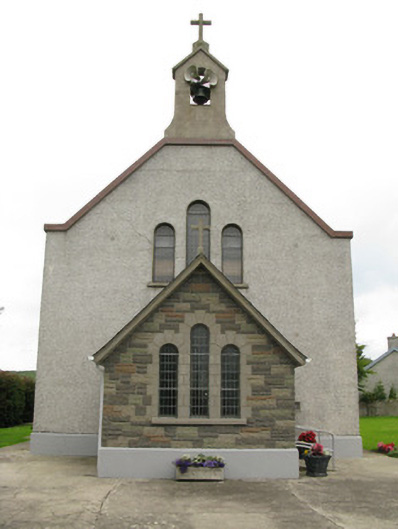 Saint Ita's Catholic Churchchurch/chapel · 939 yd
 Moated site in BallinruaneMoated site · 1531 yd
 Garbally WellSpring · 1712 yd
 Mayne Ho.Castle, unclassified · 1.6 mi
 Moated site in AhaveheenMoated site · 1.6 mi
 ToberhoranSpring · 1.9 mi
 National Co-op MuseumMuseum · 4.7 mi
 Famine stoneMemorial · 6.0 mi
 KnockfeerinaMountain / peak · 6.4 mi
 Ballagh MountainMountain / peak · 7.6 mi