
What is recorded here
Situated on a gentle slope in grassland, with wide views to S and E. Ringfort (WM012-105---)200m to NW. A circular shaped area (approx. diam. 30m E-W) enclosed by a poorly preserved earthen bank reduced to a scarp inside the field fences which surround the site, except at SW and NE where the field fences run along the line of the original bank location. A gap in the scarp at ESE may represent the location of the original entrance. The interior slopes gently from W-W, and a shallow trench cuts through the monument from NNE-SSW, and appears to be of recent origin.
See attached profile of monument surveyed and drawn by the ASI.
Compiled by: Frank Coyne and Caimin O'Brien
Date of upload: 19 February 2018
The monument record does not grant public access. Check the route and ask the landowner before entering private land.
- What survives
- Recorded monument
Places near here
 Partially hachuredFairy fort / earthen ringfort · 262 yd
 HachruedFairy fort / earthen ringfort · 264 yd
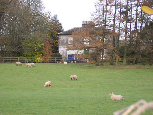 The Gleberectory/glebe/vicarage/curate's house · 736 yd
 CastleCastle, tower house · 864 yd
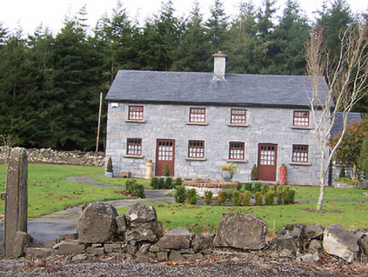 The Holliesworker's house · 1037 yd
 Scragh Bog Nature ReserveNature reserve · 1506 yd
 Long PlantingForest · 1.7 mi
 Church IslandIsland · 1.8 mi
 Srudarra IslandIslet · 2.6 mi
 Castle (in Ruins)Castle, tower house · 2.7 mi
 Saint Brigid's WellSpring · 2.8 mi
 Bridge Memorial (Kenna)Memorial · 3.2 mi
Other information
Photo: Credit not shown in the picture search · Rights wording not checked; contact us if this picture should be removed