What is recorded here
Outlined marks a Jacobite battery built during the 1690 or 1691 sieges of Limerick. It faced across the river, harassing Williamite troops camped behind their own works. The stones still outline that defensive line, preserving the shape of a gun platform that turned a ordinary river bank into a killing edge.
The remains would appear to be those of a battery. As it is not shown on the 1651 map of the siege works by William Webb (O’Flaherty 2010, map 15), it probably dates to either the sieges of 1690 or 1691. It may be identified with the battery shown at this location on the map of the siege of Limerick in 1691 (Story 1693, facing 224). It is shown and labelled with the letter ‘O’ on the map of Limerick by William Eyres drawn c. 1752 (O’Flaherty 2010, map 16) where it is described in the index as ‘The battery, the Irish [Jacobites] had to defend the passage of the river and annoy the troops that were encamped behind the works A [i.e., those erected by the Williamites on the opposite side of the river].’
Compiled by: Paul Walsh
Date of upload: 4 March 2018
The monument record does not grant public access. Check the route and ask the landowner before entering private land.
- What survives
- Recorded monument
Places near here
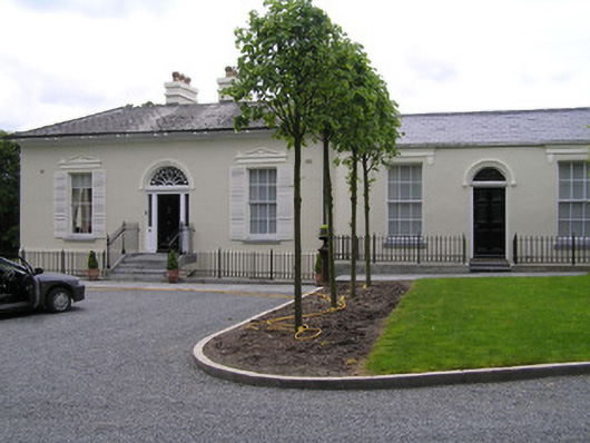 Beech Lawnhouse · 249 yd
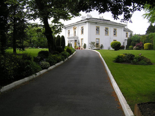 Belle-Vuehouse · 266 yd
 Limerick Seamen's MemorialMemorial · 1076 yd
 Bastioned fort in Farranshone Beg,farranshone MoreBastioned fort · 1086 yd
 Saint John Paul IIMemorial · 1116 yd
 Enclosure in CourtbrackEnclosure · 1151 yd
 Castle Blake or Farranshone (Site of)Castle, unclassified · 1449 yd
 King's IslandIsland · 1.2 mi
 Site of CastleCastle, unclassified · 1.2 mi
 Fountain SculptureHeritage attraction · 3.2 mi
 Visitor CentreVisitor information · 3.3 mi
 Campus MapVisitor information · 3.3 mi