
What is recorded here
Bastioned fort in Farranshone Beg,farranshone More rose in June 1651 when Henry Ireton threw siege works around Limerick, giving Colonel Thomas Sadler a star-shaped quarter with a northern drawbridge and southern sallyport. It may have stood during the bloody retreat of 1691, when Jacobites were cut off near Thomond Bridge and hundreds drowned or fell before Williamite fire. The earth was later levelled, erasing the exact line of its ramparts, but the loss still shadows the flat ground where men once bled for a bridge they could not cross.
This fort was erected in June 1651 by the Cromwellian, Lieutenant-General Henry Ireton, as part of the extensive siege works cast up around Limerick. It is depicted on William Webb’s plan of the siege drawn in that year and is identified in the map index as ‘Coll Sadlier Quarters’ (O’Flaherty 2010, map 10). Colonel Thomas Sadler commanded a regiment of foot. He was given command of Colonel Arthur Culm’s regiment of foot after the latter was killed at Clonmel in May 1650. He continued to serve in the army and was appointed governor of Wexford (November 1652) and subsequently at Galway (1655). The fort is depicted as a quadrilateral with four corner bastions surrounded by an external fosse forming a star shape. As represented on the map it appears to have been a substantial work and was entered via a drawbridge on its north side with a sallyport through the rampart into the fosse in the southern quarter. The fort is not shown on the plan of Limerick drawn by Thomas Phillips in 1685 though it is likely that it was outside the area represented on his map (O’Flaherty 2010, map 12).
The fort is mentioned in passing by the Williamite chronicler, George Story, who noted that Ginkel, having brought a large portion of his army across the River Shannon at Corbally in September 1691, attempted an assault on the city via Thomond Bridge. This was defended by ‘one fort to the right above musket-shot from the bridge, another on the left somewhat nearer’ (Story 1693, 224). It seems likely that the former fort refers to that shown on his plan of the siege (ibid., facing 224) and identified above. As represented on the map (see attached) it is very similar in plan to that on Webb’s map, though on a much smaller scale. After some fierce fighting the Jacobites were forced to abandon the forts and retreat across the bridge into the city. Only a small number managed to make it to safety for the gates were closed leaving an estimated 750 Jacobites cornered under the walls where they were either killed by Williamite fire or fell into the river and drowned (ibid., 224-5). The fort is not shown on Goubet’s plan of 1691 but, as with Phillips map of 1685, it does not appear to have been in the area covered by his map (see O’Flaherty 2010, map 13). The fort appears to have been levelled in the early 18th century for it is not shown on William Eyre’s map of 1752 (O’Flaherty 2010, map 15) or on subsequent OS maps.
The precise location of this fort is unknown and the coordinates recorded for this record should only be considered as indicative of the map evidence.
Compiled by: Paul Walsh
Date of upload: 5 March 2018
A bastioned fort in Farranshone Beg, Farranshone More, constructed in 1651 by Lieutenant-General Henry Ireton during the Siege of Limerick, as recorded on William Webb’s plan of the siege. It is not a prehistoric fairy fort or ringfort, but a military earthwork from the Cromwellian period.
The monument record does not grant public access. Check the route and ask the landowner before entering private land.
- What survives
- Recorded monument
Places near here
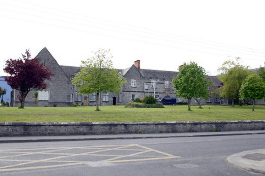 Saint Camillus's Hospitalworkhouse · 185 yd
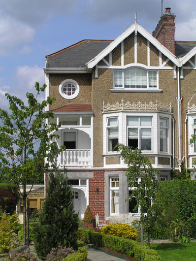 Ballineenhouse · 369 yd
 Castle Blake or Farranshone (Site of)Castle, unclassified · 722 yd
 St. Bridgets Burial GroundBurial ground · 869 yd
 Shannon IslandIslet · 1058 yd
 Site of CastleCastle, unclassified · 1104 yd
 Limerick Seamen's MemorialMemorial · 1191 yd
 Saint John Paul IIMemorial · 1193 yd
 King's IslandIsland · 1207 yd
 Cromwells Fort (Site of)-HachuredBastioned fort · 1253 yd
 Sarsfield Memorialmonument · 1.1 mi
 Seán Keating GalleryGallery · 2.7 mi
Other information
Photo: Credit not shown in the picture search · Rights wording not checked; contact us if this picture should be removed