
What is recorded here
In a small, level green area, in Ashdown Student Village, at the S corner of an oil storage depot and bordering an undeveloped greenfield plot to W and NW. Not depicted on OS historic mapping. Identified by Celie O'Rahilly, archaeologist, Limerick Corporation, during the course of field survey in this area. Described by O'Rahilly as at the E end of this open field there is a well-defined curvilinear scarp (approx. H 1.5m) visible from SW-W-NW. The exterior of the scarp is strewn with stone, some quite large, which could be the remains of stone facing or collapse from a masonry structure. The area to the E and S is level with the rest of the field. Not visible today on Google Earth orthophoto taken 02/07/2018.
See attached Google Earth orthoimage 02/07/2018 and location map by O'Rahilly showing location of the possible monument.
Compiled by: Alison McQueen and Vera Rahilly
Date of upload: 26 June 2020
A local fairy fort (ringfort/rath); wider significance not recorded.
The monument record does not grant public access. Check the route and ask the landowner before entering private land.
- What survives
- Recorded monument
Places near here
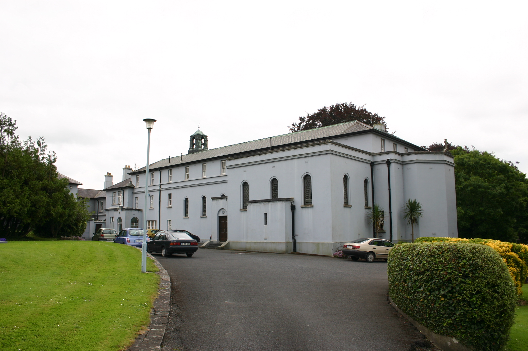 Westbournehouse · 479 yd
 Summerville Housegate lodge · 500 yd
 Riverine revetment in Ballinacurra (hart),ballykeeffeRiverine revetment · 1198 yd
 Lissadaha (1924) - HachuredFairy fort / earthen ringfort · 1561 yd
 Limerick Seamen's MemorialMemorial · 1631 yd
 Saint John Paul IIMemorial · 1677 yd
 Castle Blake or Farranshone (Site of)Castle, unclassified · 1.4 mi
 King's IslandIsland · 1.7 mi
 Site of CastleCastle, unclassified · 1.9 mi
 Coonagh NatureNature reserve · 2.0 mi
 Fountain SculptureHeritage attraction · 3.5 mi
 Visitor CentreVisitor information · 3.6 mi
Other information
Photo: Credit not shown in the picture search · Rights wording not checked; contact us if this picture should be removed