What is recorded here
On a NW-facing slope in undulating terrain, surrounded by pasture. Trees growing around inner bank and outer bank in W sector. Bivallate circular ringfort (diam. N-S 29.7m; E-W 29m) enclosed by inner bank (Wth 1.8m crest, 4.25m base; int. H 0.36m; H 1.24m above fosse) wide, shallow, flat-bottomed fosse (Wth 3.1m) and outer bank (Wth 2m crest, 3.8m base; H above int. fosse 0.3m; H above ext. 0.68m). Outer bank only survives from SE-S-SW-NW, with a slight scarp beyond this to N. In E half of ringfort the inner bank is reduced to scarp (H 0.7m over 2.1m above fosse) and fosse (Wth 3.2m; D 0.3m). Internal stone revetment on inner bank clearly visible in W sector. Interior slopes very gently towards entrance in NW (Wth 3m). Field boundary runs roughly N-S c. 6m E of outer edge of fosse, outer bank not visible in this sector. Upcast from badgers sets in S and SW quadrant in fosse and to lesser extent in both banks. Post and wire fence runs outside S and W sides with gate immediately SE. The area immediately E of the ringfort is part of a cattle track which no doubt has aided the denudation of the outer defences in this sector.
Compiled by: Jean Farrelly
Date of upload: 26 August 2011
The monument record does not grant public access. Check the route and ask the landowner before entering private land.
- What survives
- Recorded monument
Places near here
 IndicatedEnclosure · 238 yd
 Enclosure in OuteraghEnclosure · 408 yd
 Outeragh Castle (in ruins)Castle, unclassified · 979 yd
 Outeragh Church (in ruins)Church · 1189 yd
 Outrath Lodgerectory/glebe/vicarage/curate's house · 1321 yd
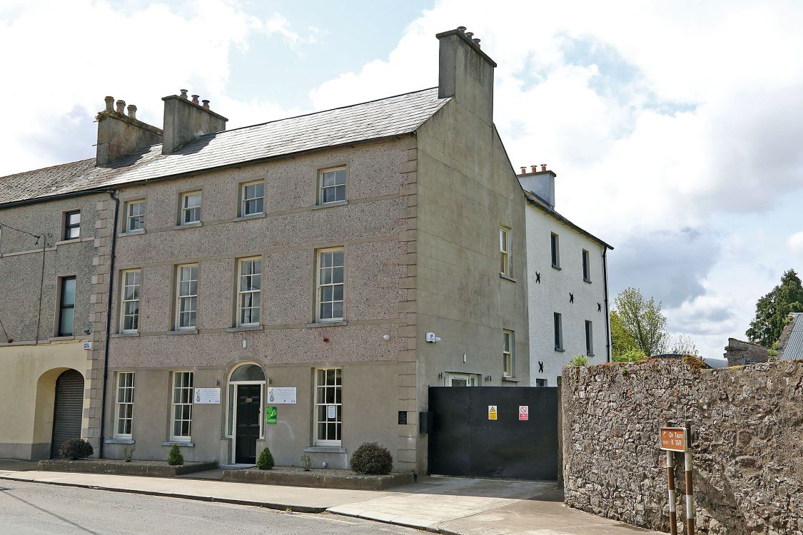 Woodinstown Ho.Castle, tower house · 1.5 mi
 Caher AbbeyHeritage attraction · 3.6 mi
 Siege of Cahir Castlesiege · 3.8 miCahir CastleHeritage attraction · 3.9 mi
 Caucasian zelkovaCaucasian zelkova · 4.5 mi
 Pedunculate OakPedunculate Oak · 4.7 mi
 Slieveanard NE TopMountain / peak · 5.1 mi