What is recorded here
On a W-facing slope in undulating terrain, under tillage. Enclosure levelled (diam. c. 30m), however there is a slight curving rise which may be the remains of the bank in the S quadrant. A field boundary, still intact, runs roughly E-W immediately N of the enclosure, kinking out to avoid the monument. Lot of stone of this area of the field. Monument is marked as an irregular area with trees on 1st (1840) ed. OS 6-inch map and as a D-shaped area on 2nd (1901-05) ed. OS 6-inch map defined by bank in N and E sectors and by scarp in S and W.
Compiled by: Jean Farrelly
Date of upload: 26 August 2011
From the National Monuments Service (Archaeological Survey of Ireland) record TS076-005
Places near here
Photo credits
- National Inventory of Architectural Heritage
- Mike Searle, Wikimedia Commons · CC BY-SA 2.0
- Sarah777, transferred by Lvova, Wikimedia Commons · Public domain
- Martin Richard Phelan, Geograph · CC BY-SA 2.0
- Andreas F. Borchert, Wikimedia Commons · CC BY-SA 4.0
- Chmouel Boudjnah Original uploader was Chmouel at fr.wikipedia, Wikimedia Commons · CC BY-SA 3.0
- Benutzer:StefanServos, Wikimedia Commons · CC BY-SA 3.0
- Kurt Stüber [1], Wikimedia Commons · CC BY-SA 3.0
- Algirdas at Lithuanian Wikipedia, Wikimedia Commons · Public domain
- Deemaykay, Wikimedia Commons · CC BY-SA 4.0
- kevin higgins, Geograph · CC BY-SA 2.0
 Outrath LodgeRectory/glebe/vicarage/curate's house · 1110 yd
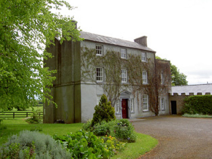 The GlebeRectory/glebe/vicarage/curate's house · 1758 yd
 Knockgraffon CastleCastle · 1.9 mi
 Knockgraffon MotteArchaeological place · 2.1 mi
 Knockgraffon MoatCastle, motte and bailey · 2.1 mi
 Caher AbbeyHeritage attraction · 3.5 mi
 Siege of Cahir CastleSiege · 3.7 mi
 Cahir CastleCastle · 3.7 mi
 Caucasian zelkova4.5 mi
 Pedunculate Oak4.6 mi
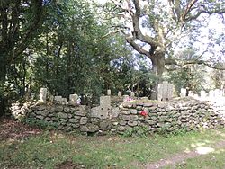 CrossCross, High cross · 8.1 mi
 FarbreagaMountain / peak · 9.5 mi
More archaeology and monuments in County Tipperary · All of County Tipperary

What do you know about this place?Tap to add a comment or ask a question