What is recorded here
Six ogham stones are re-used, mainly as lintels, and a seventh is standing in the corner of the medieval parish church of Seskinan at Knockboy (WA013-034001-). An eighth ogham stone, a 'slab of old red sandstone' measuring 0.66m x 0.28m x 0.10m (converted from Brash 1879, 270), was moved to Salterbridge House (WA021-011----) sometime before 1869 (attached photograph from Macalister 1907, 212). Reported to Macalister (1945, 289) by Richard Chearnley (Salterbridge, proprietor of estate) to have come from Seskinan church at Knockboy. The stone was lost by 1940 when Macalister (ibid.) revisited Salterbridge. It was read by Redmond (1885-6, 418-19) as OMONG EDIAS MAQI MUI BITE, and by Macalister (1945, 289, no. 299) as: [MAQI?] MONGEDIAS MAQI MUIBITI.
This stone has been studied as part of the ‘Ogham in 3D’ project undertaken by the School of Celtic Studies, Dublin Institute for Advanced Studies. To access details go to the following website: https://ogham.celt.dias.ie/search.php?ciic=299
Compiled by: Nora White
Date of upload: 16 October 2017
The monument record does not grant public access. Check the route and ask the landowner before entering private land.
- What survives
- Recorded monument
Places near here
 Church in Knockboy (decies Without Drum By., Seskinan Par.)Church · 1 yd
 ToberatempleHoly well · 301 yd
 IndicatedEnclosure · 399 yd
 Kilbrien National SchoolOfficially recorded historic building · 1.2 mi
 Standing StoneMemorial · 2.8 mi
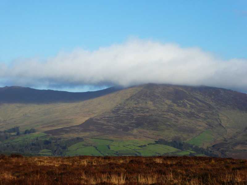 Bleantasour MountainMountain / peak · 2.8 mi
 Pigeon HillMountain / peak · 3.5 mi
 Site of CastleCastle, unclassified · 4.1 mi
 Curraghcloney CastleCastle · 4.8 mi
 Mahon ValleyCliff · 5.1 mi
 Glenshelane WoodsForest · 6.0 mi
 Siglloges LoopWalking route · 6.3 mi