What is recorded here
One ogham stone in Liscahane, County Cork, acted as a lintel inside an underground passage within a ringfort before quarrying exposed the chamber in 1981. The stone measured 1.90 metres long, 0.40 metres wide and 0.15 metres thick, and its downward inscription read COLMANN MACI COMGGANN. It later moved to Millstreet Museum, carrying with it the suspicion that ColmANN was not a distant name but a living person remembered beneath a ordinary ground.
This is the original location for one of two ogham stones (see also CO039-062005-) discovered in 1981 when a Man-made underground passage (CO039-062002-) within a ringfort (CO039-062001-) was uncovered during quarrying. The site was subsequently excavated and the two stones which acted as lintels in chamber 2 of the Man-made underground passage, were removed to Millstreet Community School. This stone (1.90m x .40m x .15m) was subsequently moved to Millstreet Museum where it is on display (see CO039-244001-). The inscription on this stone was visible when the lintel was in place (pers. comm. B. O Donnabháin). It reads downwards in it’s current position as follows: COLMANN MACI COMGGANN. (Power et al. 1997, no. 7976)
Compiled by: Nora White
Date of upload: 27 September 2017
The monument record does not grant public access. Check the route and ask the landowner before entering private land.
- What survives
- Recorded monument
Places near here
 Urn burial in LiscahaneUrn burial · 1 yd
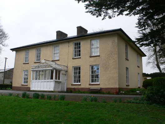 Tullig Househouse · 597 yd
 Man-made underground passage in Tullig (muskerry West By.)Man-made underground passage · 746 yd
 Quarry in LiscahaneQuarry · 959 yd
 RowanRowan · 1747 yd
 Millstreet Tourist InformationVisitor information · 1747 yd
 St. Patrick's ChurchVisitor information · 1757 yd
 Millstreet Museum & Tourist Information CentreMuseum · 1.0 mi
 Kilmeedy CastleCastle, tower house · 1.5 mi
 Castle and TurretCastle, tower house · 1.7 mi
 Claragh MountainMountain / peak · 2.1 mi
 Blackwater (Duhallow) WayWalking route · 3.1 mi