What is recorded here
Fairy fort / earthen ringfort in Noughaval is a fairy fort or earthen ringfort in Noughaval, County Westmeath, Ireland. Situated in a forestry plantation on a slight natural rise of ground surrounded by wet, poorly drained land, the site consists of a large sub-circular area measuring approximately 44 metres from north to south and 42 metres from east to west. This area is enclosed by a very slight earthen bank that has several disturbance gaps but no clear entrance feature visible, with vague traces of an external fosse present. Another ringfort lies 260 metres to the east.
Situated in forestry plantation on a slight natural rise of ground surrounded by wet poorly drained land. Ringfort (WM016-009----) lies 260m to E. A large sub-circular shaped area (approx. diam. 44m N-S; 42m E-W) enclosed by a very slight earthen bank with vague traces of an external fosse. The bank has several disturbance gaps but no clear entrance feature visible.
Compiled by: Frank Coyne and Caimin O'Brien
Date of upload: 10 September 20
The monument record does not grant public access. Check the route and ask the landowner before entering private land.
- What survives
- Recorded monument
Places near here
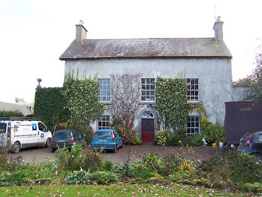 Noughaval Househouse · 658 yd
 Ecclesiastical enclosure in NoughavalEcclesiastical enclosure · 675 yd
 Noughaval CemeteryArchaeological place · 685 yd
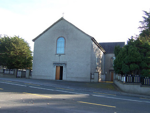 Catholic Church of the Immaculate Conceptionchurch/chapel · 1303 yd
 Partially hachuredCliff-edge fort · 1543 yd
 European BeechEuropean Beech · 1.1 mi
 OutlinedCastle, unclassified · 2.1 mi
 Bawn in Cannorstown (hogan)Bawn · 2.6 mi
 Target WoodWood · 3.2 mi
 Newcastle WoodsForest · 3.4 mi
 Guest ServicesVisitor information · 3.4 mi
 Craft WorkshopHeritage attraction · 3.5 mi