What is recorded here
Situated at the S end of a low NW-S ridge. Topsoil stripping (02E0194) in advance of a gas pipeline identified what appeared to be an industrial complex (BGE: 1A/35/2) that was completely excavated (02E0857), apart from the S end of the burnt spreads. It consisted of isolated burnt material at S, and two wooden structures that burnt down. Each of these was connected with corn-drying kilns to the W. Both kilns were of the key-hole type and no artefacts were recovered.
The E end of the earlier phase of this kiln partly occupied the wide W opening of structure A (ME042-030001-). It was similar in size and form to the other kiln (ME042-030004-) and they were probably contemporary. The re-cut phase of this kiln was a larger feature (dims 5.9m x 2.5m) and had five charcoal-rich deposits with a rake-out pit at the W end and a fire-pit at the E. Its E end occupied the opening of the later structure B (ME042-030002-). (Tobin and Sunderland 2003, 20-24; Tobin 2004; Tobin 2007)
Compiled by: Michael Moore
Date of upload: 8 March, 2018
The monument record does not grant public access. Check the route and ask the landowner before entering private land.
- What survives
- Recorded monument
Places near here
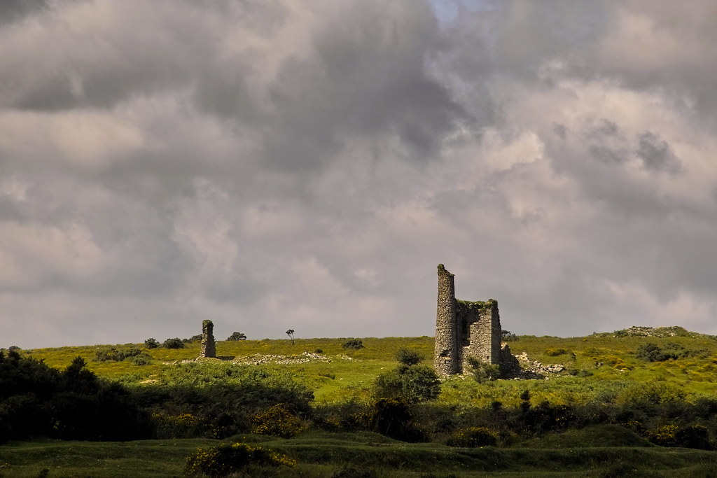 RuinChurch · 1.2 mi
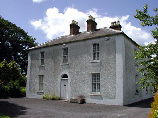 Cherryvalley Housefarm house · 1.5 mi
 Enclosure in Castletown (moyfenrath Lower By.)Enclosure · 1.5 mi
 CastleCastle, unclassified · 1.6 mi
 Wych ElmWych Elm · 1.9 mi
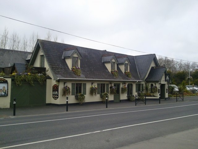 Enclosure in Batterstown (moyfenrath Lower By.)Enclosure · 2.1 mi
 Common LimeCommon Lime · 3.3 mi
 Donore CastleCastle · 3.8 mi
 Cloncurry GraveyardHeritage attraction · 5.5 mi
 Old Bog Road made famous by Teresa Bryton 1868-1943Memorial · 5.8 mi
 Kilgar GardensHeritage attraction · 7.1 mi
 Croppies' GraveMemorial · 7.1 mi