What is recorded here
In ungrazed hay meadow, on a NE-facing slope. A bowl-barrow (TS063-014002-) is located c. 55m to SW, an earthwork (TS063-079----) c. 130m to the SW and a possible enclosure (TS063-080----) c. 90m to the SSW. The entrance avenue to Temple View House is c. 25m to SW. A well-preserved oval mound (dims. 12.5m NE-SW; 9.8m NW-SE) defined by steep sides (H 1.5m) to NW and SE and by more gradual slopes to NE and SW sides, which form its long axis. A mature lime tree grows on top of the mound and fabric of mound is exposed at SE due to root damage and probable livestock erosion.
Compiled by: Jean Farrelly
Date of revised upload: 17 April 2012
Bowl barrow, likely dating to the Early Bronze Age (c. 2500–1500 BCE). This type of monument is significant as a common form of burial and commemorative earthwork in prehistoric Ireland.
The monument record does not grant public access. Check the route and ask the landowner before entering private land.
- What survives
- Recorded monument
Places near here
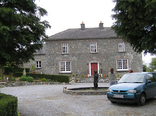 Temple Viewhouse · 87 yd
 Enclosure in NewtowndranganEnclosure · 102 yd
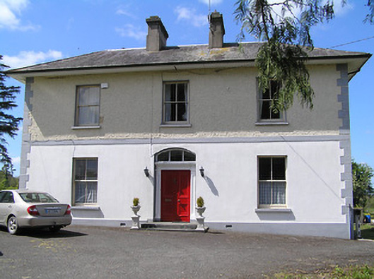 presbytery/parochial/curate's housepresbytery/parochial/curate's house · 390 yd
 (Site of) Drangan CastleCastle, unclassified · 1008 yd
 RathkennyEnclosure, large enclosure · 1477 yd
 Knockuragh HillMountain / peak · 1.1 mi
 CastleCastle, ringwork and bailey · 1.6 mi
 Eagle HillMountain / peak · 2.5 mi
 Fenane WoodForest · 3.2 mi
 Silver FirSilver Fir · 3.4 mi
 East GateMemorial · 5.3 mi
 The SpoutMemorial · 6.0 mi