
What is recorded here
In pasture, on an elevated area of a NE-facing slope, overlooking valley of stream. An enclosure (TS062-029----) lies c. 250m to the NE. An oval area (dims. 38m E-W; 23m N-S) defined by a substantial bank (Wth at top 2.1m; overall Wth 12.7m; int. H 0.9m; ext. H 1.25m) from WSW-W-NNW, a steep scarp (Wth 7.3m; H 3.4m) in the NE quadrant and lower scarp (Wth 5.15m; H 1.2m) from E-S-WSW and a deeply cut, wide fosse (basal Wth 3.9m; overall Wth 13.75m; D 1.85m) from WSW-W-NW and a well-formed, yet shallower fosse from ENE-E-WSW. A ramp-like 'causeway' (Wth 2m) climbs steadily around the curvilinear contour of the bank at NW, accessing the entrance (overall Wth 6m; basal Wth 3m) at N. A causeway (Wth c. 5.5m) at the WSW may be recent. The interior slopes gently to the NE and levels out toward the scarp on the N side. A field boundary, running ENE-WSW, traverses the monument off-centre to the SSE. There are traces of a possible levelled outer bank WSW-W-NW of the monument which may have enclosed a bailey area (dims. 27m E-W) with a possible entrance at the WNW. There are natural water channels to the SW and a narrow, possibly man-made, channel located 18m to the E-SE. Enclosure (TS062-029----) is c. 250m to NE.
Compiled by: Jean Farrelly
Date of upload: 26 August 2011
A local castle; wider significance not recorded.
The monument record does not grant public access. Check the route and ask the landowner before entering private land.
- What survives
- Recorded monument
Places near here
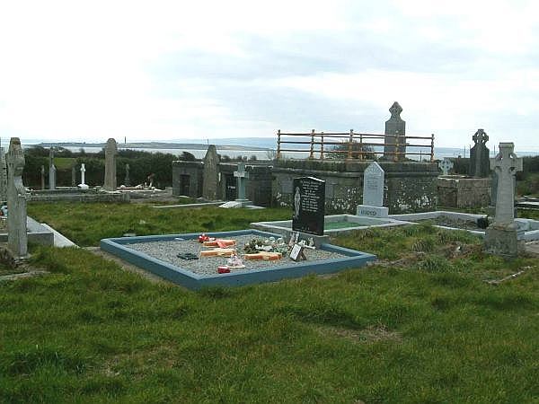 Enclosure in ShanakyleEnclosure · 193 yd
 CrushshuvaunhenryCross, Wayside cross · 517 yd
 ‘Magowry Church (in ruins)’Church · 1043 yd
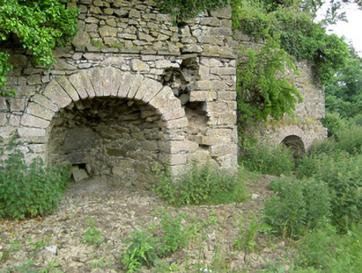 kilnkiln · 1082 yd
 Eagle HillMountain / peak · 1.1 mi
 Saint Johnstown CastleCastle · 1.5 mi
 (Site of) Drangan CastleCastle, unclassified · 2.0 mi
 Knockuragh HillMountain / peak · 2.4 mi
 Slieveardagh Heritage CentreVisitor information · 3.4 mi
 Fenane WoodForest · 4.5 mi
 Silver FirSilver Fir · 5.0 mi
 East GateMemorial · 5.1 mi
Other information
Photo: Credit not shown in the picture search · Rights wording not checked; contact us if this picture should be removed