
What is recorded here
On a SW-facing slope in undulating terrain, in pasture. The area has a number of low natural hillocks. Identified as a possible circular enclosure defined by a denuded earthen bank (Lennon 2001, Unpublished Archaeological Testing Report). Two bowl-barrows (TS063-014001- and TS063-014002-) are located c. 90m and c. 30m to the NNW respectively and an earthwork (TS063-079----) is located c. 85m to the WNW. This monument is not visible at ground level.
Compiled by: Jean Farrelly
Date of revised upload: 17 April 2012
A local fairy fort (ringfort/rath); wider significance not recorded.
The monument record does not grant public access. Check the route and ask the landowner before entering private land.
- What survives
- Recorded monument
Places near here
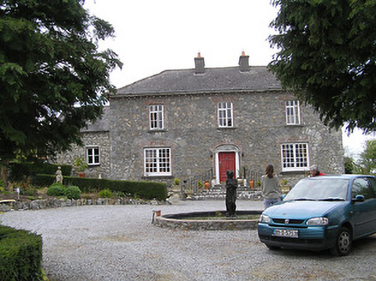 Temple Viewhouse · 124 yd
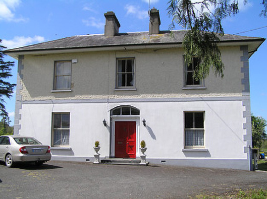 presbytery/parochial/curate's housepresbytery/parochial/curate's house · 437 yd
 (Site of) Drangan CastleCastle, unclassified · 1077 yd
 RathkennyEnclosure, large enclosure · 1376 yd
 Enclosure in Knockroe (drangan Par.)Enclosure · 1517 yd
 Knockuragh HillMountain / peak · 1.2 mi
 CastleCastle, ringwork and bailey · 1.6 mi
 Eagle HillMountain / peak · 2.6 mi
 Fenane WoodForest · 3.2 mi
 Silver FirSilver Fir · 3.4 mi
 East GateMemorial · 5.3 mi
 The SpoutMemorial · 6.0 mi
Other information
Photo: Credit not shown in the picture search · Rights wording not checked; contact us if this picture should be removed