What is recorded here
In improved pasture, on a SE-facing slope with good views E-SE over a river valley and Slievenamon mountain beyond. A sub-oval area (dims. 125m N-S; 100m E-W) defined by the remains of an earthen bank (Wth at top 1.45m; overall Wth 5.2m; int. H 0.45m; ext. H 1m) WNW-NNE, which is lower SW-W and reduced to a steep scarp (Wth 2.2m; H 1.6m) ENE-S-SSW on the downslope and a slightly lower scarp (Wth 1.5m; H 0.75m) in the W sector and on the upslope. A fosse (basal Wth 1m; overall Wth 4.8m; D 2.5m) is evident WNW-E-SSE and in the SW sector, though it is shallower (overall Wth 3m; D 1m). There are several gaps (Wth 5m at SSW, Wth 2m at SW; Wth 3.5m at W and Wth 4m at NW). The interior slopes down steadily to SE with prevalent slope and is incorporated into two fields as pasture. The enclosing bank and scarp are incorporated into field boundaries. A townland boundary (dims. Wth 3.6m; max. H 0.85) running WNW-ESE divides the two fields and transects the interior of the monument.
Compiled by: Jean Farrelly
Date of upload: 26 August 2011
The monument record does not grant public access. Check the route and ask the landowner before entering private land.
- What survives
- Recorded monument
Places near here
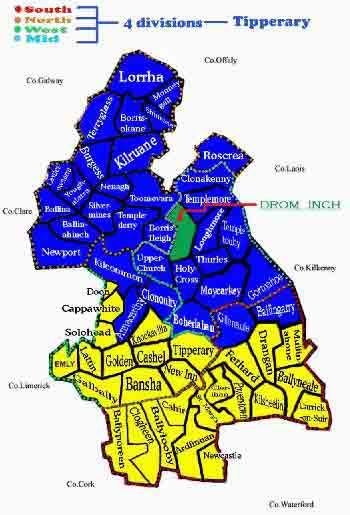 IndicatedEnclosure · 912 yd
 Enclosure in NewtowndranganEnclosure · 1376 yd
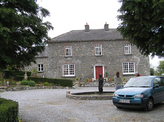 Temple Viewhouse · 1455 yd
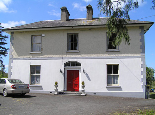 presbytery/parochial/curate's housepresbytery/parochial/curate's house · 1703 yd
 (Site of) Drangan CastleCastle, unclassified · 1.3 mi
 Knockuragh HillMountain / peak · 1.9 mi
 CastleCastle, ringwork and bailey · 1.9 mi
 Eagle HillMountain / peak · 3.0 mi
 Silver FirSilver Fir · 3.3 mi
 European ashEuropean ash · 3.4 mi
 East GateMemorial · 4.6 mi
 Gobban Saer's GraveArchaeological place · 8.5 mi
Other information
Photo: Credit not shown in the picture search · Rights wording not checked; contact us if this picture should be removed