What is recorded here
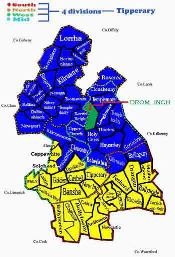
In improved pasture, within a river valley. Identified on an aerial photography (GSI S. 621/620/619, 16/04/1974) as a circular enclosure (dims. c. 180m E-W; c. 150m N-S) defined by a field boundary and traversed by a river running N-S across the E sector. The field boundary which defined the enclosure has been removed as have all the adjoining field boundaries. The land W of the river, which slopes to the E, has been improved and divided into paddocks and the land E of the river has been improved and forestry widely planted W of the monument. This enclosure is associated by some in the locality with the burning of Bridget Cleary in 1895. It is not visible at ground level.
Compiled by: Jean Farrelly
Date of upload: 26 August 2011
This remains an important historical record, but the official description says the monument is no longer visible or has been destroyed. The monument record does not grant public access. Check the route and ask the landowner before entering private land.
- What survives
- No visible remains or recorded as destroyed
Places near here
 Field system in Ballyvadlea (cloneen Par.)Field system · 834 yd
 RathkennyEnclosure, large enclosure · 912 yd
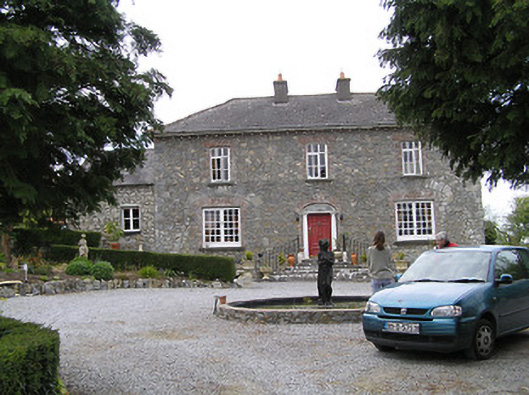 Temple Viewhouse · 1.2 mi
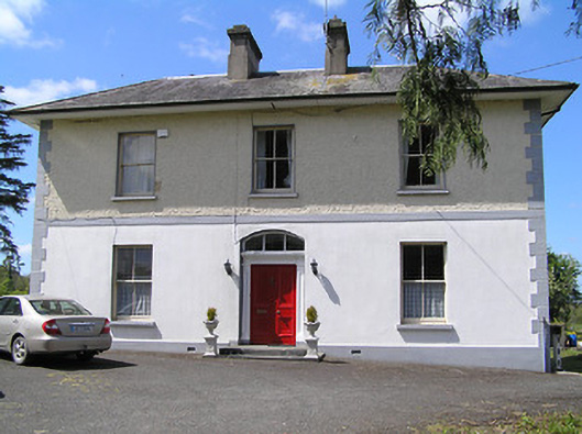 presbytery/parochial/curate's housepresbytery/parochial/curate's house · 1.3 mi
 (Site of) Drangan CastleCastle, unclassified · 1.6 mi
 Ballinard CastleCastle, tower house · 1.8 mi
 Knockuragh HillMountain / peak · 2.0 mi
 Silver FirSilver Fir · 2.9 mi
 European ashEuropean ash · 3.0 mi
 Eagle HillMountain / peak · 3.5 mi
 East GateMemorial · 4.5 mi
 Gobban Saer's GraveArchaeological place · 9.0 mi
Other information
Photo: Credit not shown in the picture search · Rights wording not checked; contact us if this picture should be removed